FEATURED ITEM - Limited Availability
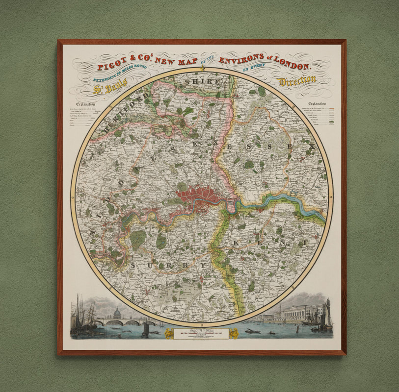
Pigot & Co’s New Map of the Environs of London extending 14 Miles round St. Pauls in Every Direction by J. Pigot c1830.
A superb republished map of London and its environs engraved in a round format with vignettes of St Pauls and the Custom House below
first published for the 'British Atlas of the Counties of England' c1830.
Enlarged Sizes Available:
These unique larger versions of the map give you an impressive and more readable map to decorate your wall space. Now available in two large formats A1+ and AO+ sizes. These are not available from any other map or print dealer worldwide and are perfect for mount, framing and wall displays providing a much larger and very attractive map.

