Resources
Welcome! Here you'll find many resources I use and highly recommend. If it's here then I've used it myself to help with my own research of antique maps and prints. Books and Publications related specifically to the subject of Rare Maps and Prints come highly recommended.
|
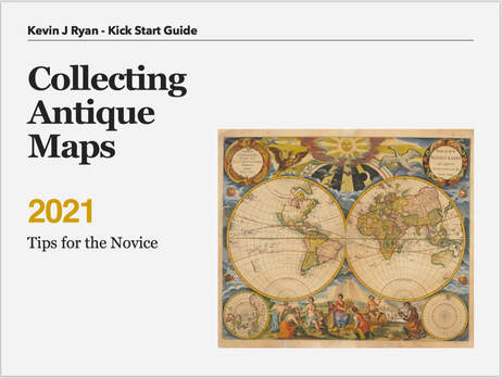
CLICK ON THE BOOK to DOWNLOAD A FREE COPY Get my latest kick-start guide. Its in pdf format so you can consume on the go. Perfect for iphone, tablet, ipad, laptop or desktop. Quickly get answers to the 3 fundamentals: Where to Start - Is it Original? Whats on the Paper? Kinds of Maps - What to Collect? |
|
|
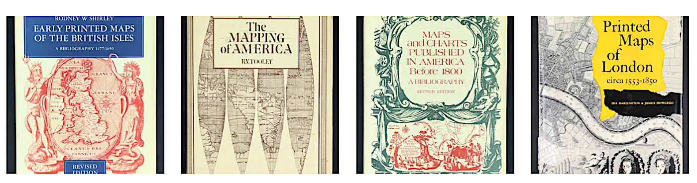
You can find a selection of some of the excellent reference works that have crossed my path under "Reference Books". They continue to provide a wealth of information helping to understand, contextualise, and interpret the maps focused on. If you're new to collecting I recommend developing a reference library geared towards your subject of interest. (Click Image to visit Reference Books)
|
Map Resource Sites:
The sites listed below provide you with excellent facilities to research and explore thousands of high quality digitized maps online.
|
The British Library holds one of the finest collections of maps in the world and is actively digitizing its holdings. The map collection consists of a vast collection of cartographic material including medium to large scale mapping, topographic maps including regional and landscape as well as town plans and building footprints. (Click Image to visit site) |
|
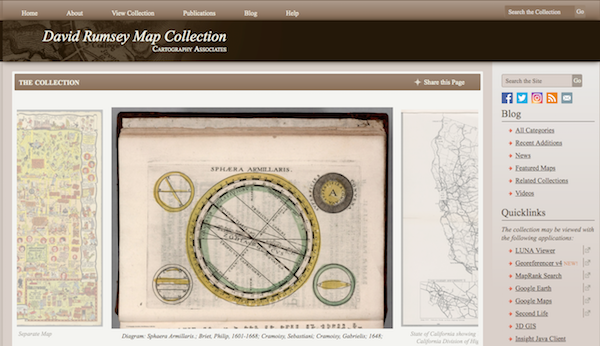
The David Rumsey Map Collection database has many viewers and the Blog has numerous categories. The physical map collection is housed in the David Rumsey Map Center at the Stanford University Library. The historical map collection has over 90,000 maps and related images online. The collection includes rare 16th through 21st century maps of America, North America, South America, Europe, Asia, Africa, Pacific, Arctic, Antarctic, and the World. (Click Image to visit site) |
|
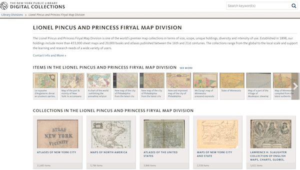
New York Public Library, Lionel Pincus and Princess Firyal Map Division. The New York Public Library map collection is one of the finest collections of maps and atlases in the world.
The Lionel Pincus and Princess Firyal Map Division is one of the worlds premier map collections in terms of size, scope, unique holdings, diversity and intensity of use. Established in 1898, the holdings include more than 433,000 sheet maps and 20,000 books and atlases published between the 16th and 21st centuries. The collections range from the global to the local scale and support the learning and research needs of a wide variety of users. (Click Image to visit site) |
|
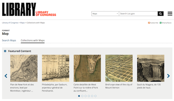
Library of Congress, Geography and Map Division. The United States Library of Congress holds one of the largest map collections in the World. An excellent resource for American map collectors. The collections include Railroad Maps 1828-1900, American Revolution & Civil War Maps. Discovery & Exploration Maps 1500-1700. Military Battles, Panoramic and General Maps. (Click Image to visit site) |
|
National Library of Australia. This Map collection includes over 800,000 maps, from early European charts to current mapping of Australia, in print and digital form. All online maps are now freely available for download, in high resolution. (Click Image to visit site) |
MY TOP BOOK RECOMMENDATIONS:
|
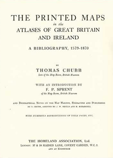
THE PRINTED MAPS in the ATLASES of GREAT BRITAIN AND IRELAND: Often I get emails from buyers asking about how to identify a particular map and its edition. I have turned to this book more times than any other. By Thomas Chubb late of the Map Room, British Museum and first published in 1927 the book provides biographical notes on the map makers, engravers and publishers and provides a comprehensive description of the atlases of Great Britain and Ireland from 1579 - 1870. The Printed Maps in the Atlases of Great Britain and Ireland 1579 - 1870 published by The Homeland Association Ltd. Reprint 2005. The copy shown here is my own 1974 edition. Now scarce, I sometimes have copies available. Email me if interested. |
|
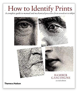
HOW TO IDENTIFY PRINTS: Since its first publication in 1986, this comprehensive guide has established itself as the essential reference book for print and book collectors, dealers in prints and illustrated books, art librarians, art professors and students, and everyone interest in graphic art. If you're a lover of old prints and there are numerous 'kinds' woodcut, line engravings, steel engravings, mezzotints, aquatints etc, etc, the best reference work recommendation I can give you and an absolute must have for print collectors: How to Identify Prints by B. Gascoigne published by Thames & Hudson. Reprinted 2014. |
|
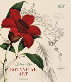
THE GOLDEN AGE OF BOTANICAL ART: This is a beautiful, beautiful book. I came across a review of the book by accident, while researching some botanical prints. I love botanicals with their delicate hand colour and often pick prints up at auctions when I can. As you will read "Botanical illustration reached its first peak of sophistication and achievement in the hundred or so years from 1750 to around 1850". The book gives you a wonderful overview of the subject, beautiful illustrations of work by Sir Joseph Banks, Pierre-Joseph Redoute, Henry C. Andrews and many other familier names to lovers of the subject: The Golden Age of Botanical Art published by Andre Deutche Books Limited 2012. |
Take a look inside the book "Collecting Old Maps" in the video below
HOW to use the APP "old maps online"
Here's a quick guide and the app is FREE!
This is a super tool you can use to search for old maps all around the world.
The video below shows you how you can set a time frame period ie c1800 to c1850
and search for maps on this basis worldwide.
Black & White or colour? The beauty of maps
Maps with Colour are extremely popular today and many old maps still have colour applied although
originally black and white. Could you tell how old the colour is on a map?
originally black and white. Could you tell how old the colour is on a map?
See the largest atlas in the world! The Klencke Atlas
The Klencke Atlas first published in 1660, is one of the world's largest atlases. It is 1.75 metres (5 ft 9 in)
tall by 1.9 metres (6 ft 3 in) wide when open, and so heavy the British Library reportedly had six people to carry it.
tall by 1.9 metres (6 ft 3 in) wide when open, and so heavy the British Library reportedly had six people to carry it.
Klencke Atlas is a singular work, no other copies were created. It is a world atlas made up of 41 copperplate wall maps that remain in
exceptionally good condition. The maps were intended to be removed and displayed on the wall. The maps are of the continents and
assorted European states and it was said to encompass all the geographical knowledge of the time.
Dutch Prince John Maurice of Nassau is credited with its creation, and it contains engravings by artists Blaeu and Hondius
and others. It was presented by a consortium of Dutch sugar merchants, represented by Professor Johannes Klencke, to
King Charles II of England in 1660 to mark the occasion of his restoration to the throne. The consortium hoped to gain
favourable trade agreements with Britain for their sugar plantations in Brazil. Johannes Klencke was the son of a
Dutch merchant family. Charles, a map enthusiast, kept it in the 'Cabinet and Closet of rarities' in Whitehall.
California as an island - cartography mistakes
David Rumsey the Map Collector explains some repeated cartographic mistakes and
the advantages of digital maps
the advantages of digital maps
Get my latest free "Kick start Guide". . . . .
|

|