The COLOURIST
|
Most customers now have a desire for hand coloured items. We undertake a limited amount of colouring of select antique maps and decorative prints. Feel free to contact us to discuss your requirements if you’re looking to get items hand coloured.
Importantly with antique maps there are those maps which simply should not be coloured and were never intended to be coloured. Sadly many maps have been greatly devalued by hand colour being added that was poorly executed, or simply lacks knowledge of what’s in keeping with the period. For me the focus of our efforts is producing work that enhances a map or print, makes it more desirable and maintains where possible the correct historical style. Sometimes like many creative processes the ‘less is more’ approach works best and is well received. This is especially true when adding hand colour to engraved prints. It's important to let the image breath. The work of an engraver is not to be hidden but where possible enhanced by the use of delicate hand colour or sometimes just a wash tint of colour. |
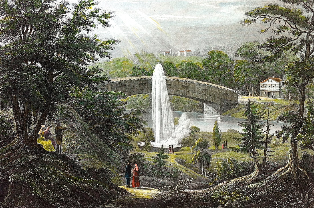
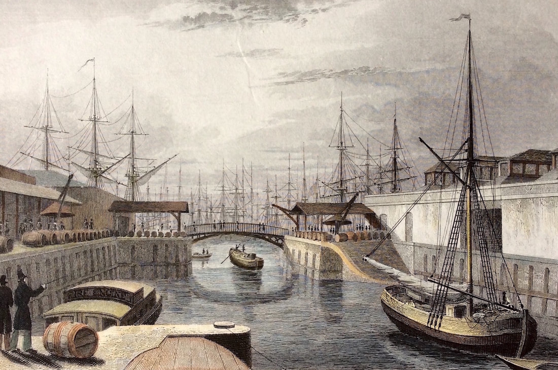
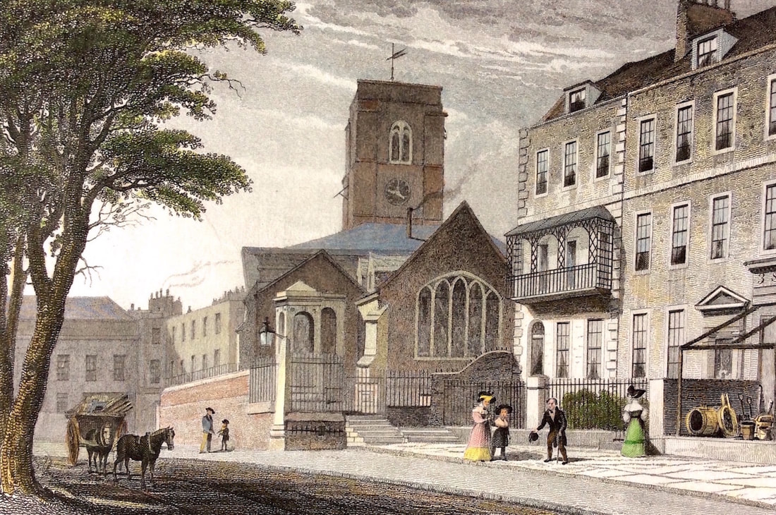
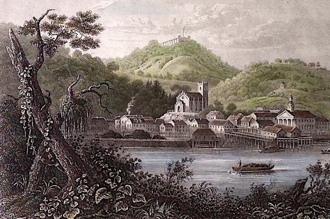
The examples shown here give you some idea of my work as a colourist.
|
|
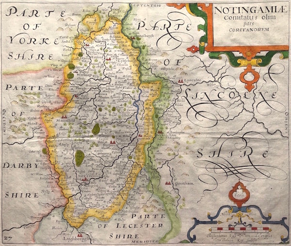
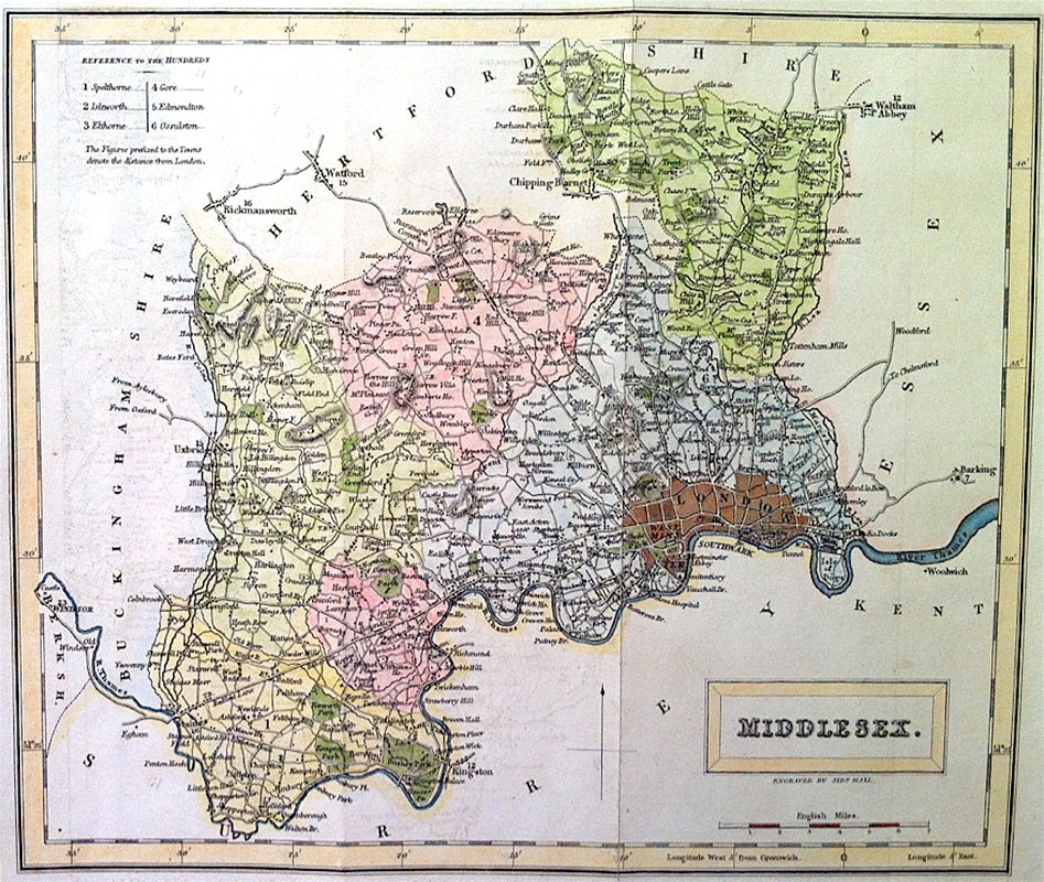
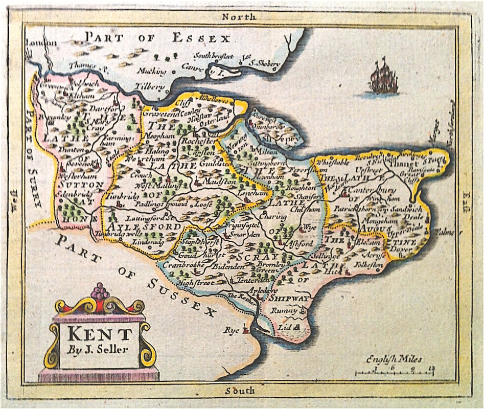
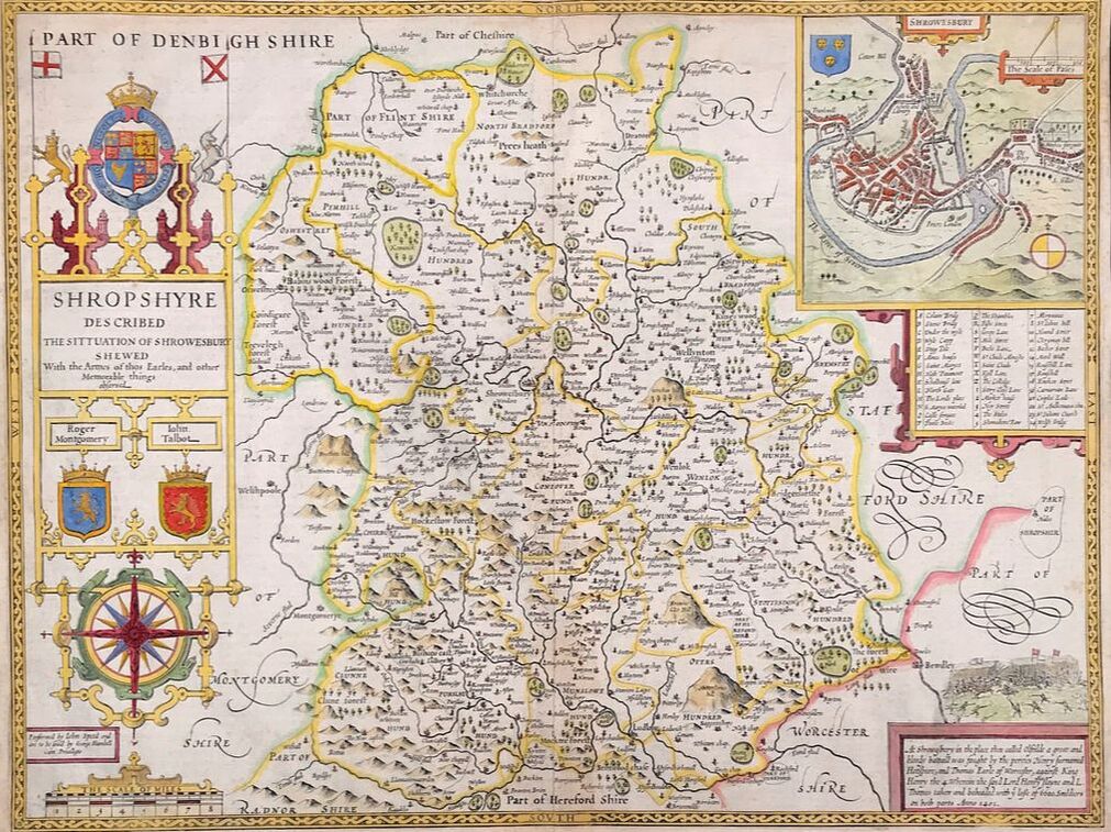
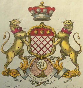
With maps colour should enhance the map and make it easier to read, one of the reasons why they were coloured in the first place. In general the old approach is still best, estates, parks and woods coloured green, seas and rivers in blue, hills brown’s and cities and towns in red. Extra decoration is best coloured as naturally as possible along with everything that appears in any map cartouches. Armorial shields are always an area of interest and should be coloured correctly. This was done in the past by following two simple codes either by a guiding letter or by a system of engraving the background of the shield. For instance Gules (Red) was marked G, or the engraved lines were vertical. The traditional names for each colour were derived from mediaeval French and the system worked well and provided a simple guide for professional colourists. In the past not all colourists knew or applied such rules so sometimes the armorials are incorrectly coloured. The Dutch unfortunately reversed red and blue two of the most important colours in heraldry and many Dutch maps were coloured elsewhere according to the original rule. Today colouring is still being added to maps. With my own approach I prefer to apply map colour as close as sympathetically possible according to the contemporary colour of each map maker. With many of the more simply decorated maps of the 18th century there is a broader scope for colour variation however staying within the certain acceptable norms works best and tend to have more appeal to buyers in my own experience. |
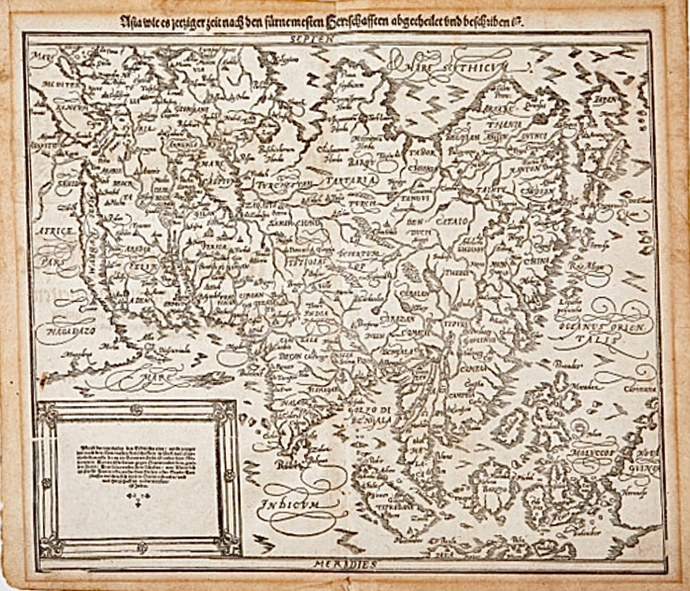
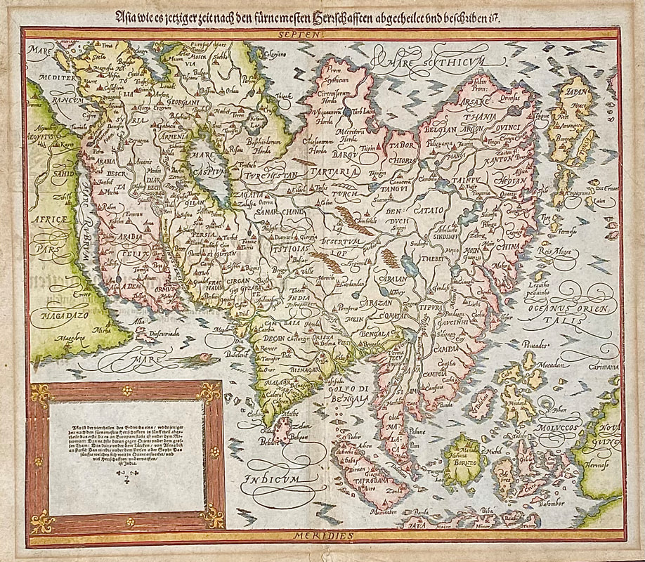
Before and After - Woodblock map of Asia - Munster's Cosmographia c1584
Above: Armorial shields always an area of interest . . . |

|
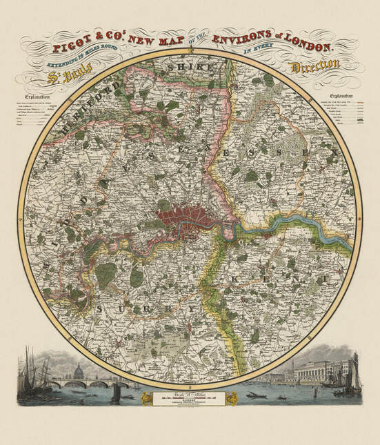
Pigot & Co's New Map of the Environs of London. The map has vignette views of St. Paul’s, the River Thames and the Customs House and was first published in James Pigot & Co's British Atlas c1830. The addition of fine hand colour contemporary to the period greatly enhances this map visually and well demonstates how hand colour makes the map more desirable while still maintaining the correct historical style. 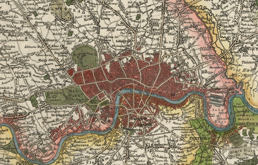
|
|
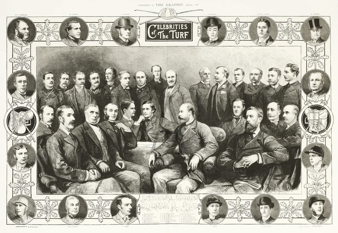
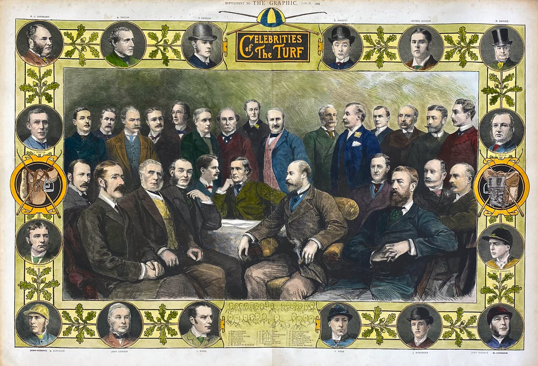
Below: Celebrities of the Turf from the Graphic Magazine c1888 - Before and After Example