- Antique Maps
- >
- Sea Charts
- >
- Atlantic Ocean 1788 - SOLD!
Atlantic Ocean 1788 - SOLD!
SKU:
£0.00
Unavailable
per item
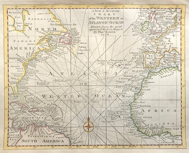
Original Map of Chart of the Western or Atlantic Ocean by Thomas Bowen 1788. A New & Accurate Chart of the Western or Atlantic Ocean Drawn from Surveys and most approved Maps & Charts. Copper plate engraved. Thomas Bowen. Engraved for Bankes's New System of Geography. 1788
Approx engraved area: 8.75" x 11" (220mm x 280mm)
Good condition, copper plate engraving, some age tone, original outline colour
A genuine antique map over 230 years old.

