- Antique Maps
- >
- British Isles
- >
- England & Wales Published 1860
England & Wales Published 1860
SKU:
£85.00
£85.00
Unavailable
per item
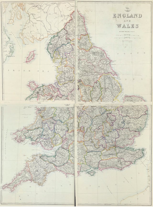
Map of England & Wales By Edward Weller F.R.G.S
Steel engraved, Edward Weller F.R.G.S for Weekly DIspatch London c1860
Good condition overall with some age tone original outline coloured map, blank to verso
Approx each individualsheet area: 19.5" x 13.5" (490mm x 340mm)
Notes: Highly detailed 4 sheet map of England & Wales, which appeared in the Dispatch Atlas, published by the Weekly Dispatch and engraved by Edward Weller in London.

