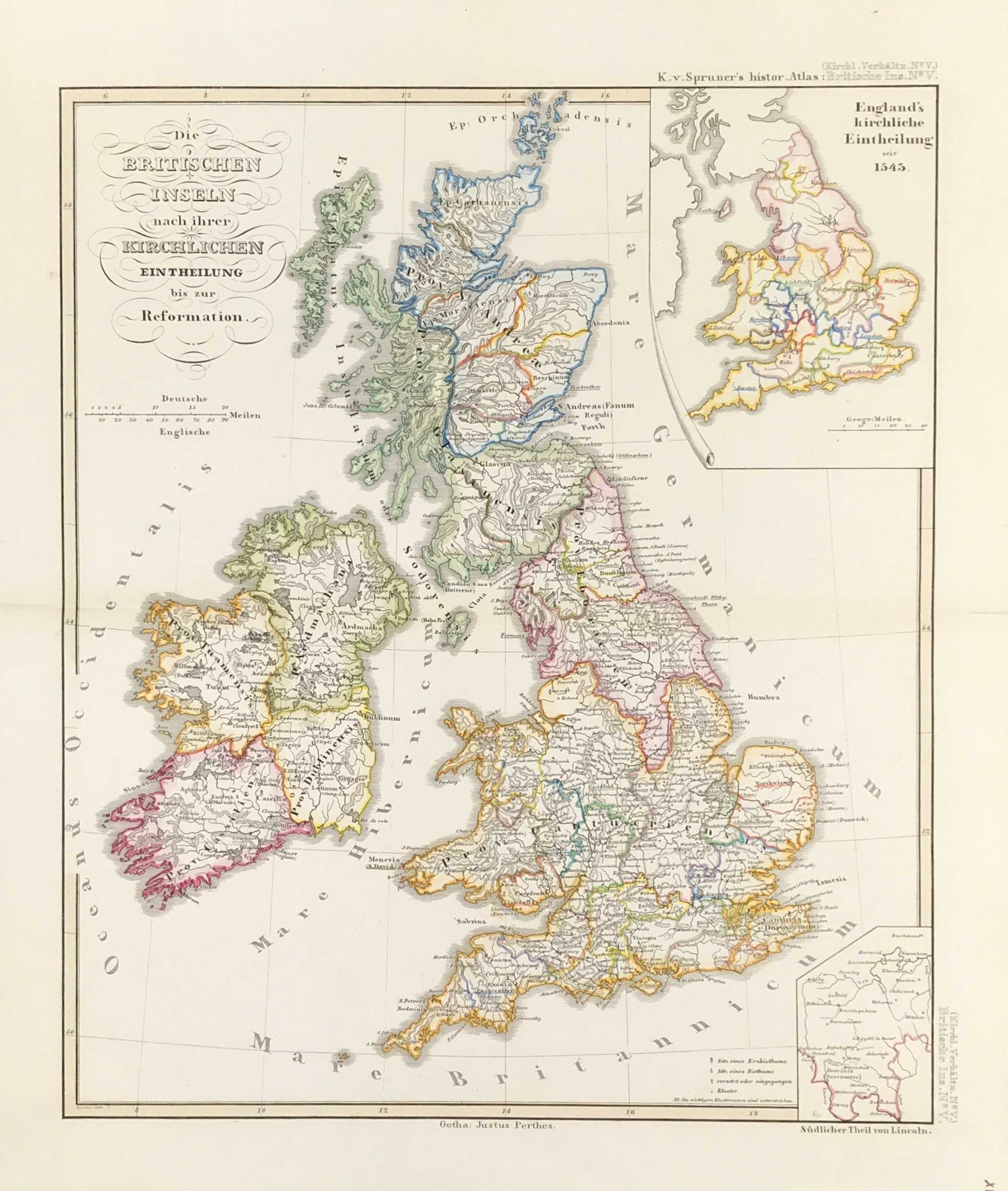
British Isles Published 1854
SKU:
£55.00
£55.00
per item
ORIGINAL MAP of BRITISH ISLES c1854 "Die Britischen Inseln nach ihrer kirchlichen Eintheilung bis zur Reformation." The British Isles after their church division until the Reformation. Karl Von Spruners map Published by Justus Perthes in Gotha
Good condition overall, Original hand coloured map, fold as issued, blank to verso
Approx sheet size : 18" x 14.5" (460mm x 370mm)
A Genuine antique map over 160 years old.