- Antique Maps
- >
- British Isles
- >
- England & Wales Published 1850 - SOLD!
England & Wales Published 1850 - SOLD!
SKU:
£0.00
Unavailable
per item
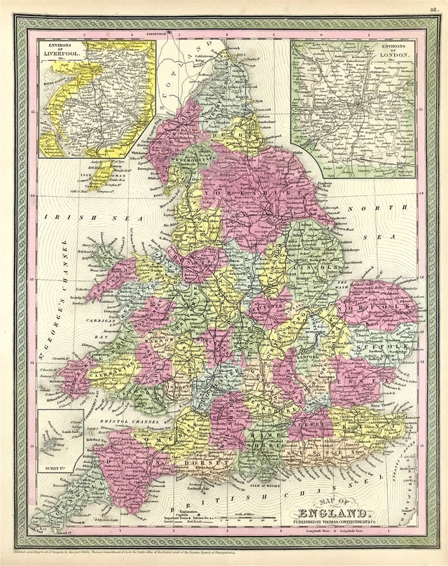
Original Map of England & Wales c1850 Thomas Cowperthwait
An engraved map of England & Wales divided into counties.
Title panel lower margin. Inset: Environs of Liverpool & London
Published by Thomas Cowperthwaite & Co
Entered according to act of Congress, 1850, Eastern District of Pennsylvania
Good condition, heavy paper, some age tone to boarders, outline and wash hand colour, blank to verso
Engraved area approx: 16" x 12.5" (410mm x 320mm)
A genuine antique map over 160 years old.

