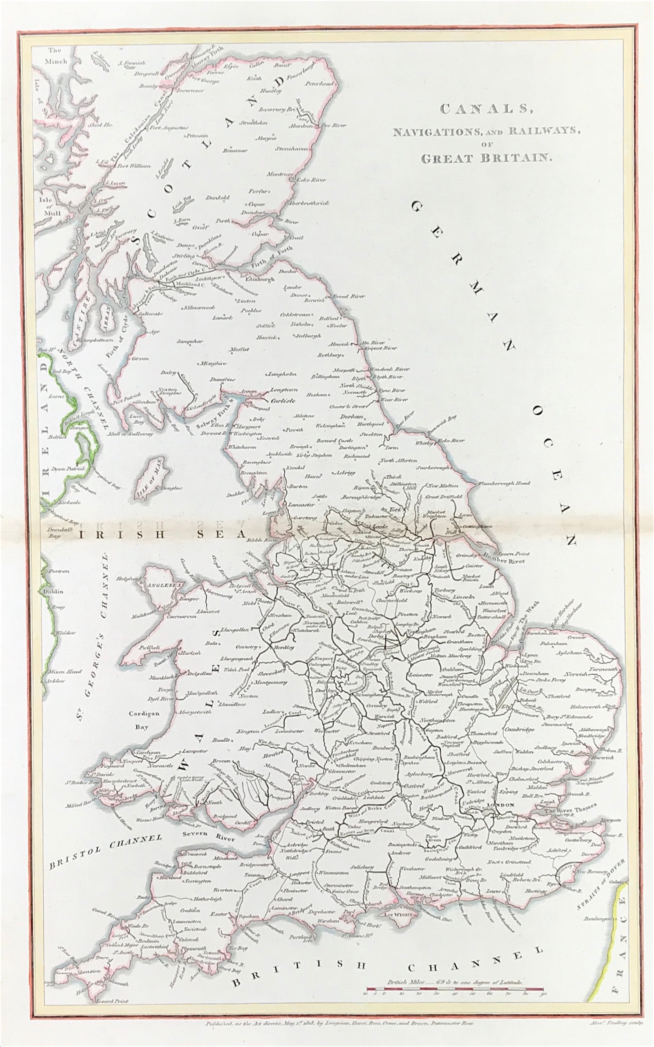
Canals & Railways Published 1818 - SOLD!
SKU:
£0.00
per item
Rare Map of the CANALS, NAVIGATIONS AND RAILWAYS of GREAT BRITAIN c1818
Engraved by Alex Findlay. c1818 Published as the Act directs, May 1st 1818, by Longman, Hurst, Ree, Orme, and Brown, Paternoster Row
Very Good condition with later fine hand colour, fold as issued, blank to verso
Engraved area approx: 16" x 10" (410mm x 255mm)
A genuine antique map over 200 years old.