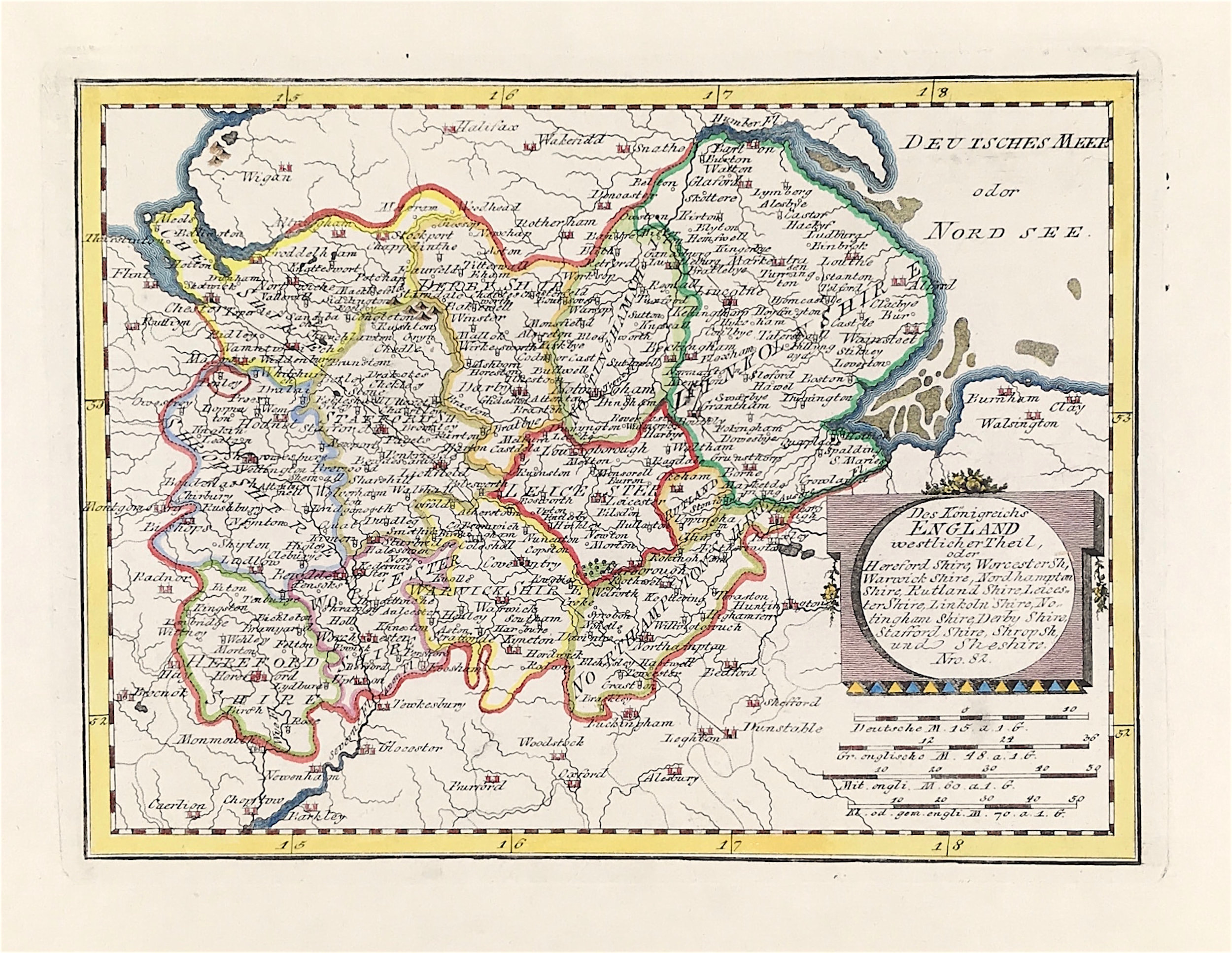
Middle England Published 1789
SKU:
£42.00
£42.00
per item
Antique Map of England - Middle England - Franz Von Reilly c1789
Taken from the Schauplatz der Welt Atlas (1789-1791)
By Austrian cartographer Franz Johann Joseph von Reilly (1766-1820)
Overall Good Clean Condition with later hand colour
Engraved on medium weight hand laid paper with clear plate mark
Approx Image size: 8" inches by 10" inches (20cm x 26cm).
A genuine antique map over 230 years old.