- Antique Maps
- >
- The Americas
- >
- Brazil Published 1840
Brazil Published 1840
SKU:
£37.00
£37.00
Unavailable
per item
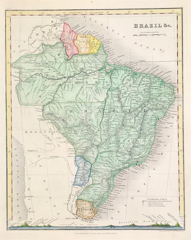
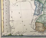
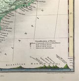
Map of BRAZIL &c with Brazilian Mountain Ranges c1840 Shows Classification of Places, Population and Mountain Ranges Height above Sea Level.
Drawn and Engraved by John Dower, Pentonville London. Published: Orr and Co., Amen Corner, Paternoster Row, London
Good condition with later wash and outline hand colour, some age tone, blank to verso
Engraved area approx: 8.25" x 10" (210mm x 225mm)
A genuine antique map over 166 years old


