- Antique Maps
- >
- The Americas
- >
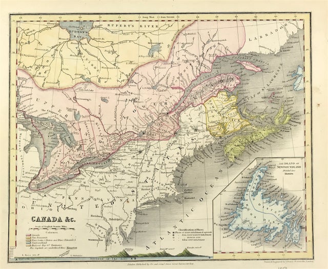
- Canada Published 1850
Canada Published 1850
SKU:
£37.00
£37.00
Unavailable
per item
Antique Map of Canada. With Mountain Ranges above sea level.Shows Classification of Places, Population and Mountain Ranges Height above Sea Level. Drawn and Engraved by John Dower, Pentonville London. Published: Orr and Co., Amen Corner, Paternoster Row, London
Good condition with later wash and outline hand colour, some age tone, blank to verso
Engraved area approx: 8.25" x 10" (210mm x 225mm
A genuine antique map over 170 years old

