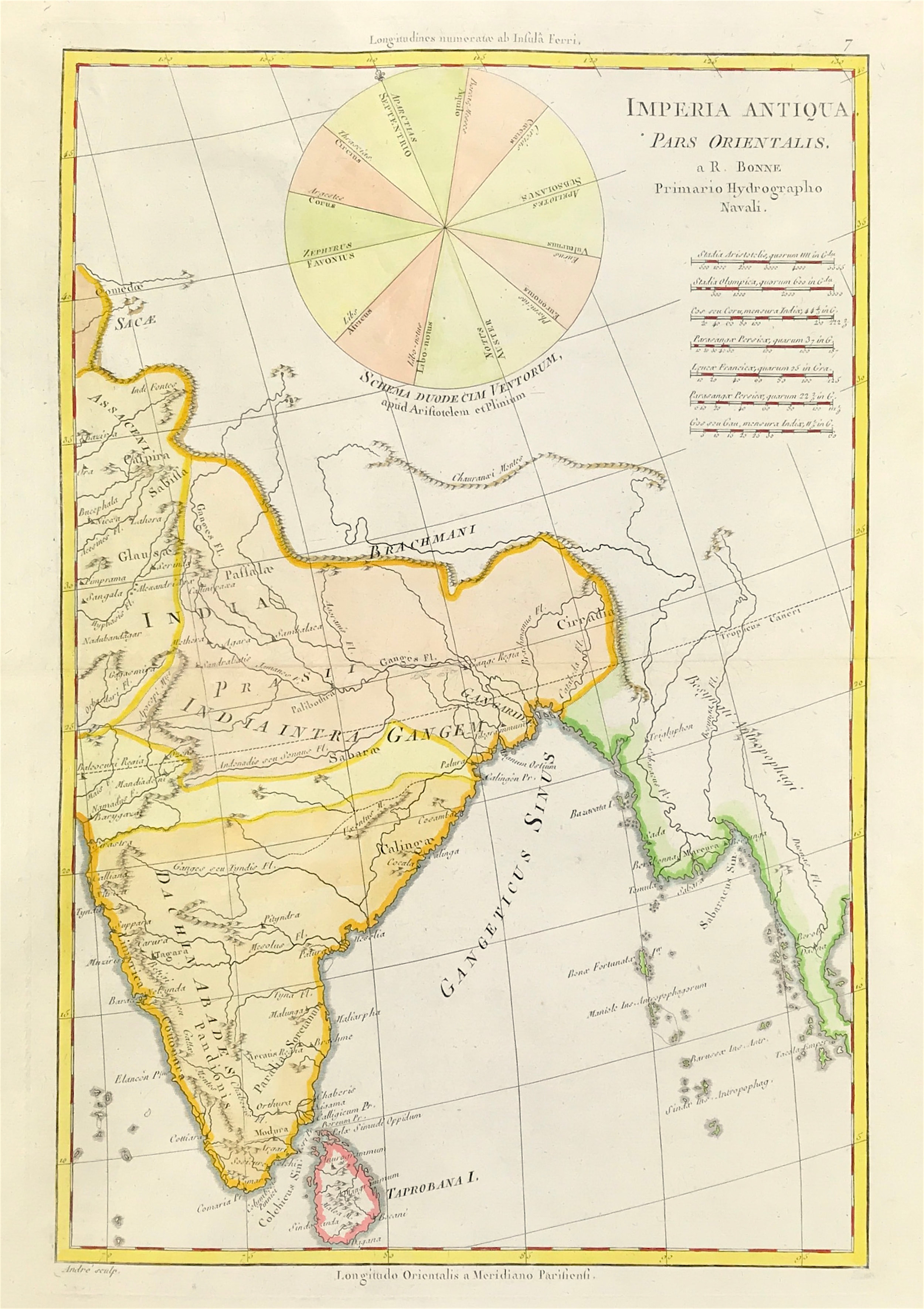
India & Sri Lanka c1788 - Now Sold!
c1788Antique Map India & Sri Lanka, Myanmar Burma "Imperia Antiqua Pars Orientalis" Engraved by Andre (Some governments ancient Oriental) From Bonne's, Atlas Encyclopedique, Contenant La Geographie Ancienne, et Quelques Cartes sur La Geographie du Moyen Age, La Geographie Moderne, et les Cartes Relatives a la Geographie Physique.
Good condition, some age tone, with later outline and wash hand colour. On handmade laid paper, blank to verso, fold as issued. Engraved area approx: 14" x 9.5" (355mm x 240mm)
Bonne was an important French cartographer active in the later part of the C18th. In 1773 Bonne succeeded Jacques Nicolas Bellin as Royal Cartographer to France in the office of the Hydrographer at the Depôt de la Marine.
A genuine antique map over 230 years old