- Antique Maps
- >
- Military Battle Maps
- >
- Military Plans Battle of Marengo c1800
Military Plans Battle of Marengo c1800
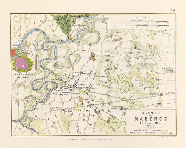
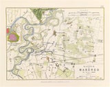
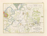
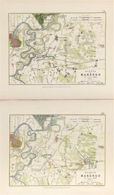
A Pair of Antique Maps Battle of Marengo Northern Italy c1800 Sheets 1 & 2. French Second Coalition Wars Battle map c1814 from the Atlas to Alinson's History of Europe By Sir Archibald Alinson by Alexander Keith Johnson, F.R.S.E F.R.G.S. F.G.S.
Battle of Marengo, (June 14, 1800), narrow victory for Napoleon Bonaparte in the War of the Second Coalition, fought on the Marengo Plain about 3 miles (5 km) southeast of Alessandria, in northern Italy, between Napoleon’s approximately 28,000 troops and some 31,000 Austrian troops under General Michael Friedrich von Melas; it resulted in the French occupation of Lombardy up to the Mincio River and secured Napoleon’s military and civilian authority in Paris.
Published by William Blackwood & Sons, Edinburgh and London c1875.
Original maps produced with mechanical outline colour. Additional later fine wash and detailed hand colour embellishments make this a unique edition of the map.
Condition: Overall excellent examples, some age tone to plate.
Engraved map area: 6" x 8" (155mm x 205mm)
Each sheet size including boarders approx :10 inches by 8 inches (25cm x 20cm)
A pair of genuine antique maps over 140 years old.


