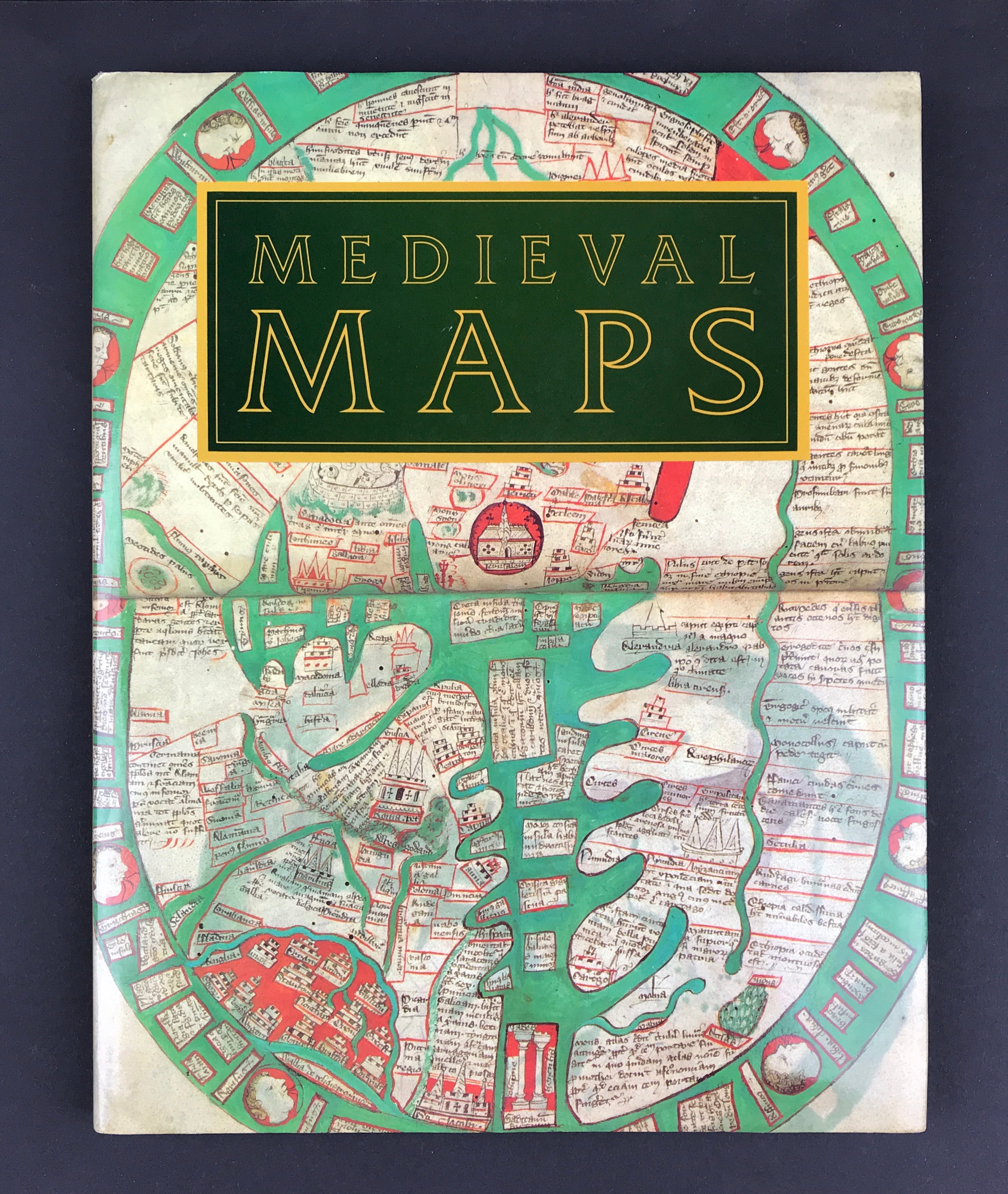

Medieval Maps by P.D.A. Harvey
Medieval Maps
Harvey, P.D.A.
Publisher:The British Library 1991 Size: 11.25" x 8.75" (285mm x 223mm). Hardcover. Condition: Good. Dust Jacket Condition: Good
In the middle ages maps were little used and their function, as we know it today, was scarcely understood. However, those that survive offer a vivid picture of the medieval view - both of the world and of particular areas and places. They reveal not only the extent of geographical knowledge but also the historical and theological ideas that informed the work of the mapmakers and their patrons.
In this book, Professor Harvey traces the development of western mapmaking from the early middle ages to the first printed maps of the late 15th century. He discusses the various traditions of these maps, their artistic and technical achievements, and the purposes they served. The book is generously illustrated with reproductions of maps from the major collections of the world.