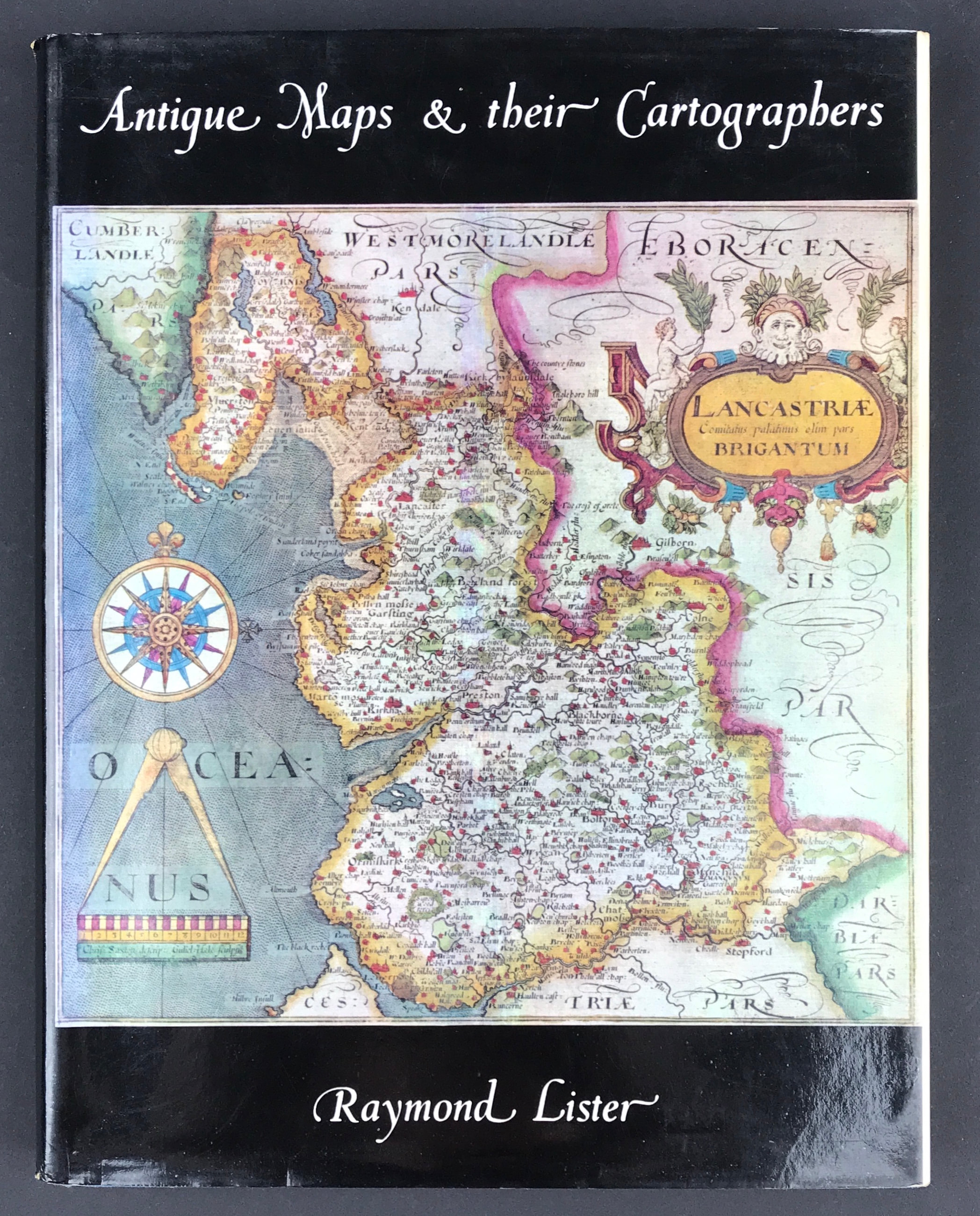
Antique Maps & Their Cartographers - SOLD!
Antique Maps & Their Cartographers
Raymond Lister
Publisher: G. Bell & Sons Ltd. 1970. Size: 10" x 7.75" (255mm x 197mm). Hardcover. Condition: Good. Dust Jacket Condition: Good.
Following the success of his How to identify Old Maps and Globes, now in its second printing, Raymond Lister has expanded the iterature of mapmaking still further with Antique Maps and their Cartographers. Beginning with the map-making of primitive peoples and ancient Babylonia, he intriguing history is carried through to the late nineteenth century, each chapter having its own carefully selected bibliography to enable the reader to pursue his studies further in any field in which he feels a particular interest.
There is a wealth of new information which is not available from any other single source, and these fresh facts about the copious details concerning their works and the dates of their publication, are presented in such a manner that the book will be read as a fascinating story as well as being used as a reliable work of reference.
To the many enthusiastic collectors of British maps Chapter V, with its generous illustrations, will have an especial appeal, but it is probable that readers whose studies have hitherto been confined to one sector only of this vast subject will be stimulated to investigate others, where great rewards await the knowledgeable collector.