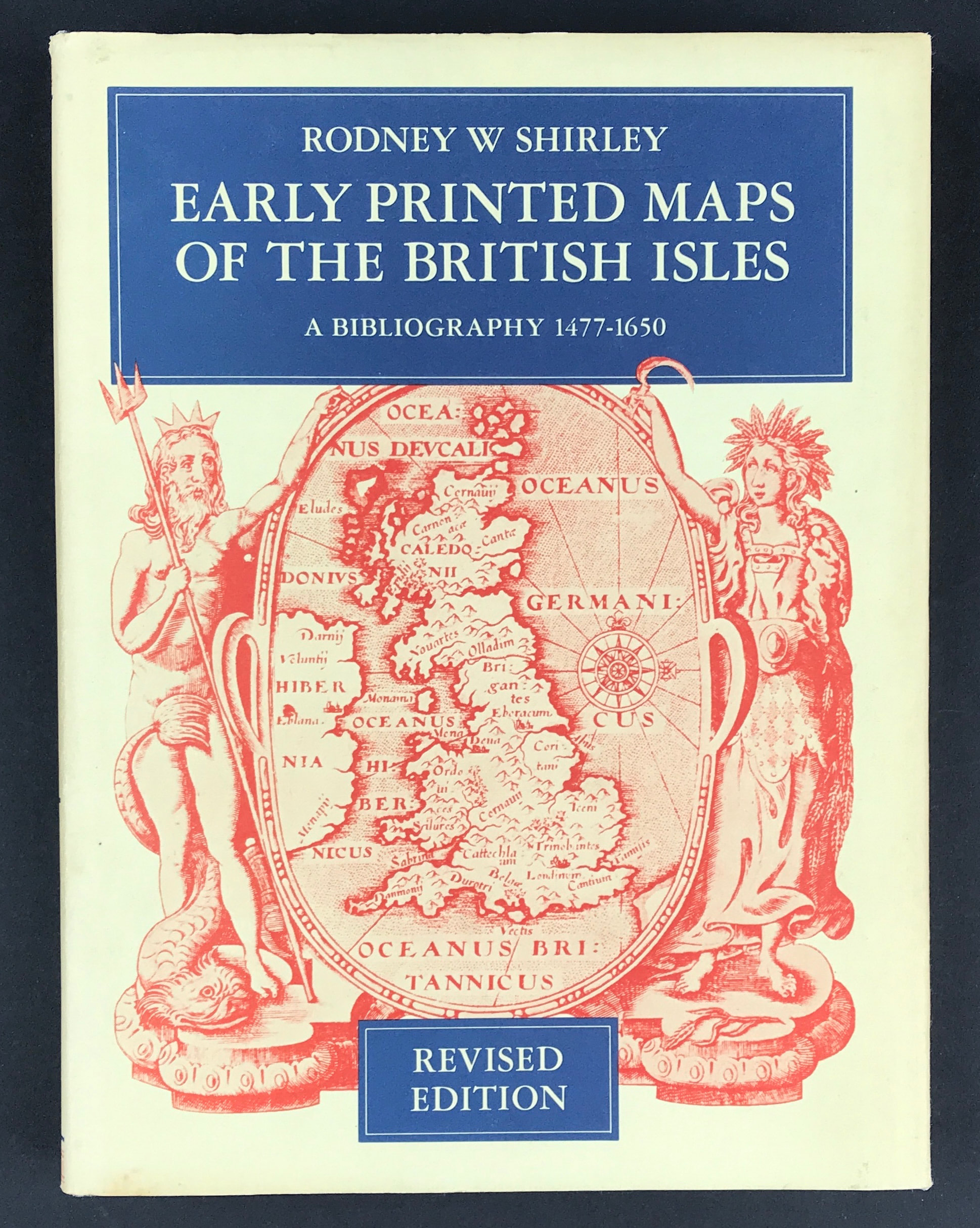
Early Printed Maps of the British Isles
Early Printed Maps of the British Isles - A Bibliography 1477 - 1650
Rodney Shirley - Revised Edition
Publisher: Holland Press Limited 1980. Size: 10" x 7.5" (255mm x 190mm) Hardcover. Condition: Good. Dust Jacket Condition: Good with some soiling due to age.
This revised edition of Early Printed Maps of the British Isles by Rodney W. Shirley brings together, as volume 5 in the Holland Press Cartographica series, the full bibliography originally published in 1973 in five parts of the Map Collectors' Circle. As a result of suggestions by collectors, dealers, and librarians, the previous addendum has been completely rewritten and brought up-to-date with more than eighty-five entries.
It is hoped that wider availability of this bibliography of the early general maps of the British Isles in a convenient single volume, comprehensively indexed, will be of sustained value to all who use it.