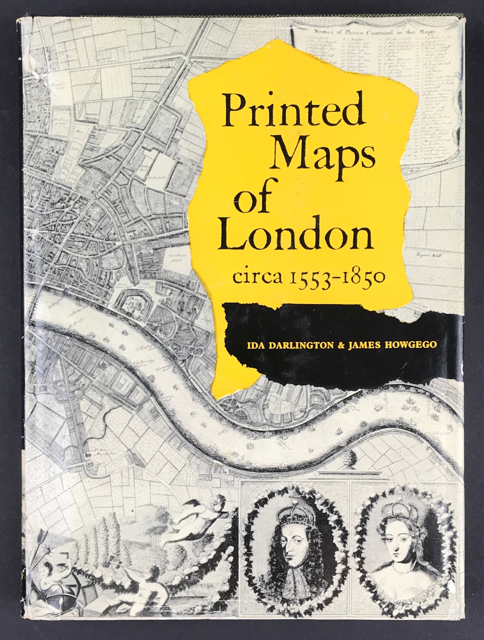

Printed Maps of London 1553-1850 - SOLD!
Printed Maps of London circa 1553-1850
Darlington, Ida & James Howgego with Forward by R. A. Skelton
Publisher: George Phillip & Sons 1964 Size: 10" x 7.5" (255mm x 190mm). Hardcover. Condition: Good. Dust Jacket Condition: Good some edge tears and scuffing.
Students and amateurs of cartography and of London's history and topography have long been handicapped by the total lack of any comprehensive descriptive key to the wealth of printed maps that have survived from the sixteenth century onwards. Here, for the first scholarly catalogue of maps of London, listed in chronological order of their first appearance. Each entry gives exact details of title, size, extent, scale, key, decorative features, etc., and present location, and is followed by a careful collation of later editions, with all information necessary for identification, and of derivatives, reproductions and facsimiles. The catalogue itself is preceded by an introductory survey of London map-making and publishing in which problems of provenance, dating and authorship are discussed. An attractive and useful feature of the book is the selection of photographic reproductions from some of the most interesting maps. Written and compiled by two London librarians who are specialists in this subject, Printed Maps of London will become a standard work of reference and an invaluable instrument for those engaged in many fields of study.