RARE MAPS AND PRINTS
help@raremapsandprints.co.uk
+44 7788 628706
  • Start Here
  • About
  • Maps
    • British Isles
    • English Counties
    • Road Maps
    • River Thames
    • The Americas
    • Asia to Australia
    • Europe & Middle East
    • World & Hemispheres
    • Sea Charts
    • Military Battle Maps
  • Prints
    • British Topography >
      • Views River Thames
      • Views England
      • Views Wales
      • Views London
    • Satire & Caricature >
      • Vanity Fair Prints
      • Tour of Dr Syntax
      • William Hogarth
      • Max Beerbohm
    • Sporting
    • Amorial
    • Military & Naval
    • Portrait
    • Russian Art
    • Views Italy
  • Engravings
    • Copper
    • Steel
    • Etching
    • Wood Block
    • Lithograph
    • Lithotint
    • Aquatint
    • Photogravure
  • Resources
    • Reference Books
  • Blog
  • The Colourist
  • Contact
  • Antique Maps
  • >
  • Reverence Books
  • >
  • The Mapping of Australia by Tooley - SOLD!

The Mapping of Australia by Tooley - SOLD!

SKU:
£0.00
Unavailable
per item

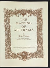
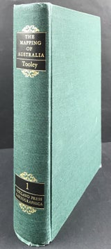
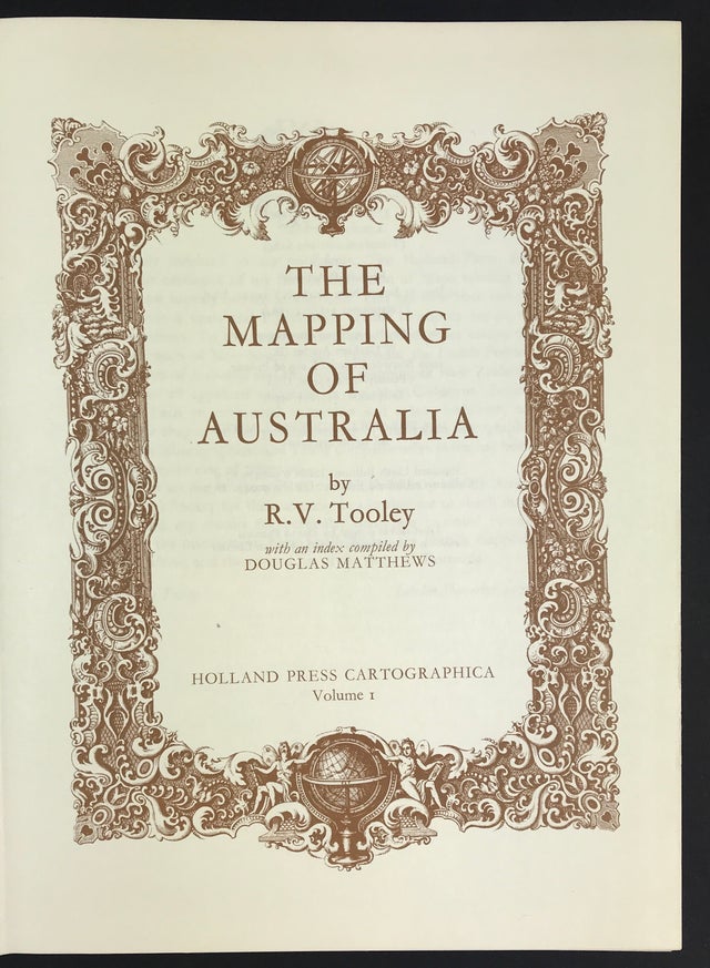
The Mapping of Australia

Tooley, R.V. with an index compiled by Douglas Matthews

Publisher: Holland Press Cartographica and Richard B. Arkway. first edition (London, 1979) Volume 1 Size: 10" x 7.5" (255mm x 190mm). Hardcover. Condition: Good. Dust Jacket Condition: Missing. Notes: Inscription to inside cover and pencil dates on blank page.

"This volume presents a brief historical account of the Mapping of Australia; to show its evolution from a theoretical conception to a precise fact; the slow emergence of its outline throughout the centuries; the first fixing of its exact limits on the maps of the world; followed by an alphabetical list of maps relating to Australia formerly in Mr Tooley's possession, and now reposing in the National Library in Canberra. The list is not exhaustive but a considerable body of material has been assembled to illustrate one of the most varied and interesting subjects in the whole history of regional geography.

The work, which is further enhanced by the inclusion of facsimiles of 239 maps of the period, will provide a reliable reference to future carto-bibliographical research for librarian, bookdealer and private collector."

  • Facebook
  • Twitter
  • Pinterest
  • Google+
Buy Now
Contact Info:     
Rare Maps and Prints Limited 
4, Ray House, Cressington Place,
​Bourne End, Bucks SL8 5SL UK 
                             
Kevin J Ryan :     

email: kevin@raremapsandprints.co.uk         
​
Customer Service     
email: help@raremapsandprints.co.uk           
Picture
Member of
​INTERNATIONAL MAP COLLECTORS SOCIETY 


    Maps & Prints Updates

Subscribe to List

Copyright © 2021  -  Rare Maps and Prints Limited  -  Raremapsandprints.co.uk   All Rights Reserved     Site Map     Terms & Conditions     Privacy Policy
  • Start Here
  • About
  • Maps
    • British Isles
    • English Counties
    • Road Maps
    • River Thames
    • The Americas
    • Asia to Australia
    • Europe & Middle East
    • World & Hemispheres
    • Sea Charts
    • Military Battle Maps
  • Prints
    • British Topography >
      • Views River Thames
      • Views England
      • Views Wales
      • Views London
    • Satire & Caricature >
      • Vanity Fair Prints
      • Tour of Dr Syntax
      • William Hogarth
      • Max Beerbohm
    • Sporting
    • Amorial
    • Military & Naval
    • Portrait
    • Russian Art
    • Views Italy
  • Engravings
    • Copper
    • Steel
    • Etching
    • Wood Block
    • Lithograph
    • Lithotint
    • Aquatint
    • Photogravure
  • Resources
    • Reference Books
  • Blog
  • The Colourist
  • Contact

    Join Our List

sign up
SHOP
Home
Shop
About
Updates
Contact
SOCIAL
Facebook
Twitter
Instagram
Proudly powered by Weebly