- Antique Maps
- >
- Reverence Books
- >
- County Atlases of the British Isles
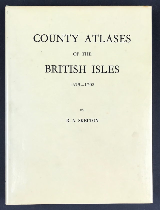
County Atlases of the British Isles
County Atlases of the British Isles 1579-1703
Skelton R.A. Sometime Superintendent of the Map Room in the British Museum and Honoray Secretary of the Hakluyt Society.
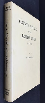
Publisher: Carta Press 1970 Size: 10" x 7.5" (255mm x 190mm). Hardcover. Condition: Good. Dust Jacket Condition: Good.
County Atlases of the British Isles is a new work both in substance and in form. It is designed as an aid to the study of the evolution of the English county atlas by establishing the genetic relationship between atlases, by tracing the history and successive users of map-plates, and by providing descriptions in such detail as to enable loose sheets, single maps, to be assigned to the atlas in which they were originally issued.
In the text of the descriptive notices, Dr Skelton breaks away from the older plan whereby all editions of an atlas are described under the first mention, and, instead, enters each atlas under its date of publication with appropriate cross references.
There are detailed collations and discussions of the history of 124 atlases. Included also are biographies of map makers and map publishers, a number of tables and 43 full pages of illustra- tions, all designed to make County Atlases of the British Isles as comprehensive as possible and to facilitate the identification of editions, impressions, re-issues and variants.
A section of particular value is that on the history of the English map trade during the Tudor and Stuart periods. This original contribution to the subject is made from systematic examination of original documents such as map-sellers catalogues and wills. Important too are the three separate, comprehensive indexes: of persons, subjects, and titles.
Scholars, librarians and collectors of county maps and atlases will find DrSkelton's authoritative book an indispensable reference work of permanent value.


