RARE MAPS AND PRINTS
help@raremapsandprints.co.uk
+44 7788 628706
  • Start Here
  • About
  • Maps
    • British Isles
    • English Counties
    • Road Maps
    • River Thames
    • The Americas
    • Asia to Australia
    • Europe & Middle East
    • World & Hemispheres
    • Sea Charts
    • Military Battle Maps
  • Prints
    • British Topography >
      • Views River Thames
      • Views England
      • Views Wales
      • Views London
    • Satire & Caricature >
      • Vanity Fair Prints
      • Tour of Dr Syntax
      • William Hogarth
      • Max Beerbohm
    • Sporting
    • Amorial
    • Military & Naval
    • Portrait
    • Russian Art
    • Views Italy
  • Engravings
    • Copper
    • Steel
    • Etching
    • Wood Block
    • Lithograph
    • Lithotint
    • Aquatint
    • Photogravure
  • Resources
    • Reference Books
  • Blog
  • Contact
  • Antique Maps
  • >
  • Reverence Books
  • >
  • Discovering the New World

Discovering the New World

SKU:
£70.00
£70.00
Unavailable
per item

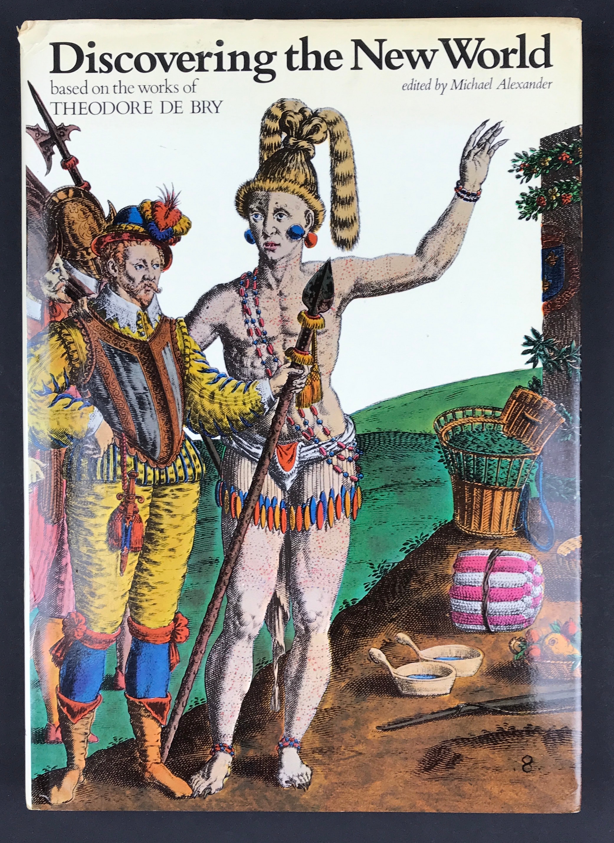
Discovering the New World based on the works of Theodore De Bry

Edited by Michael Alexander Publisher: Harper & Row London 1976 Size: 12" x 8.5" (305mm x 215mm). Hardcover. Condition: Good. Dust Jacket Condition: Good some edge creasing and discoloration.

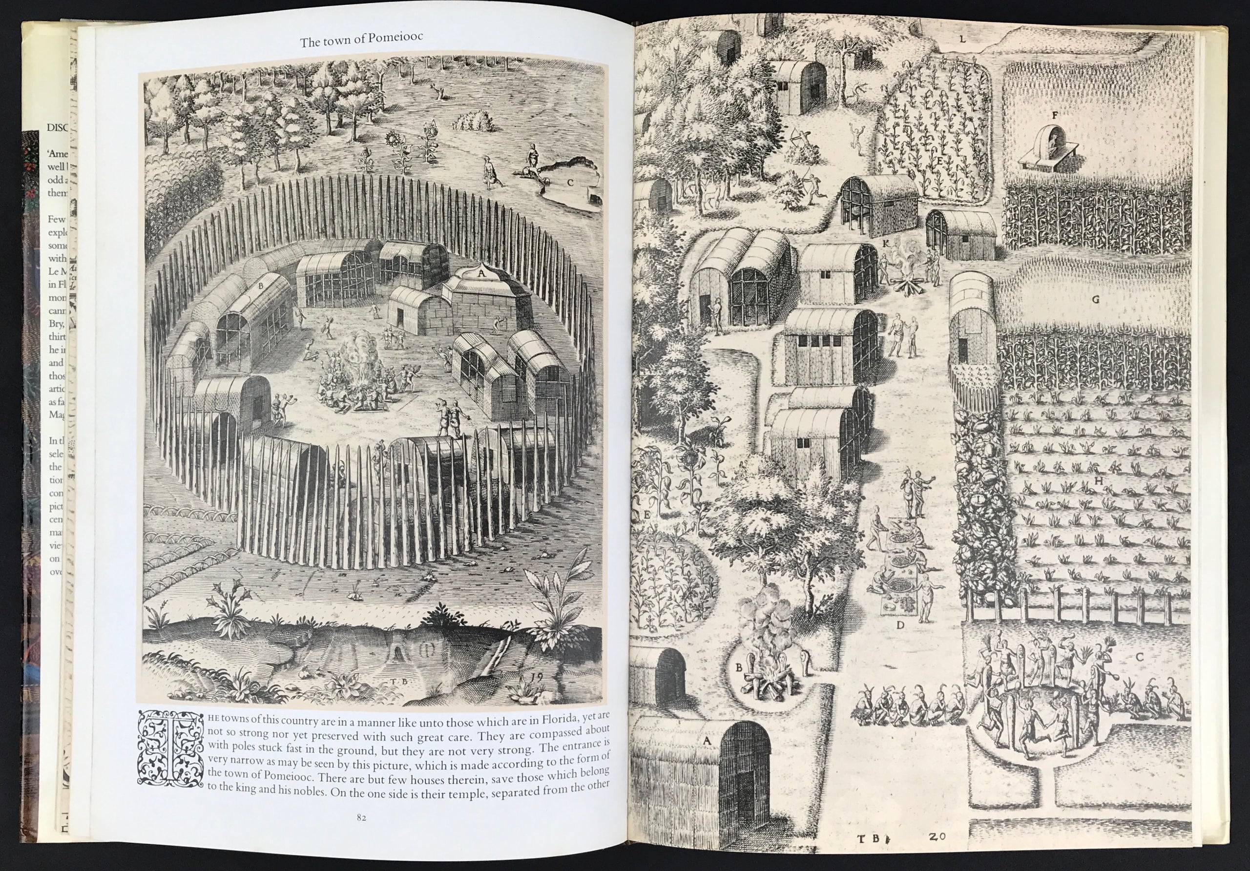
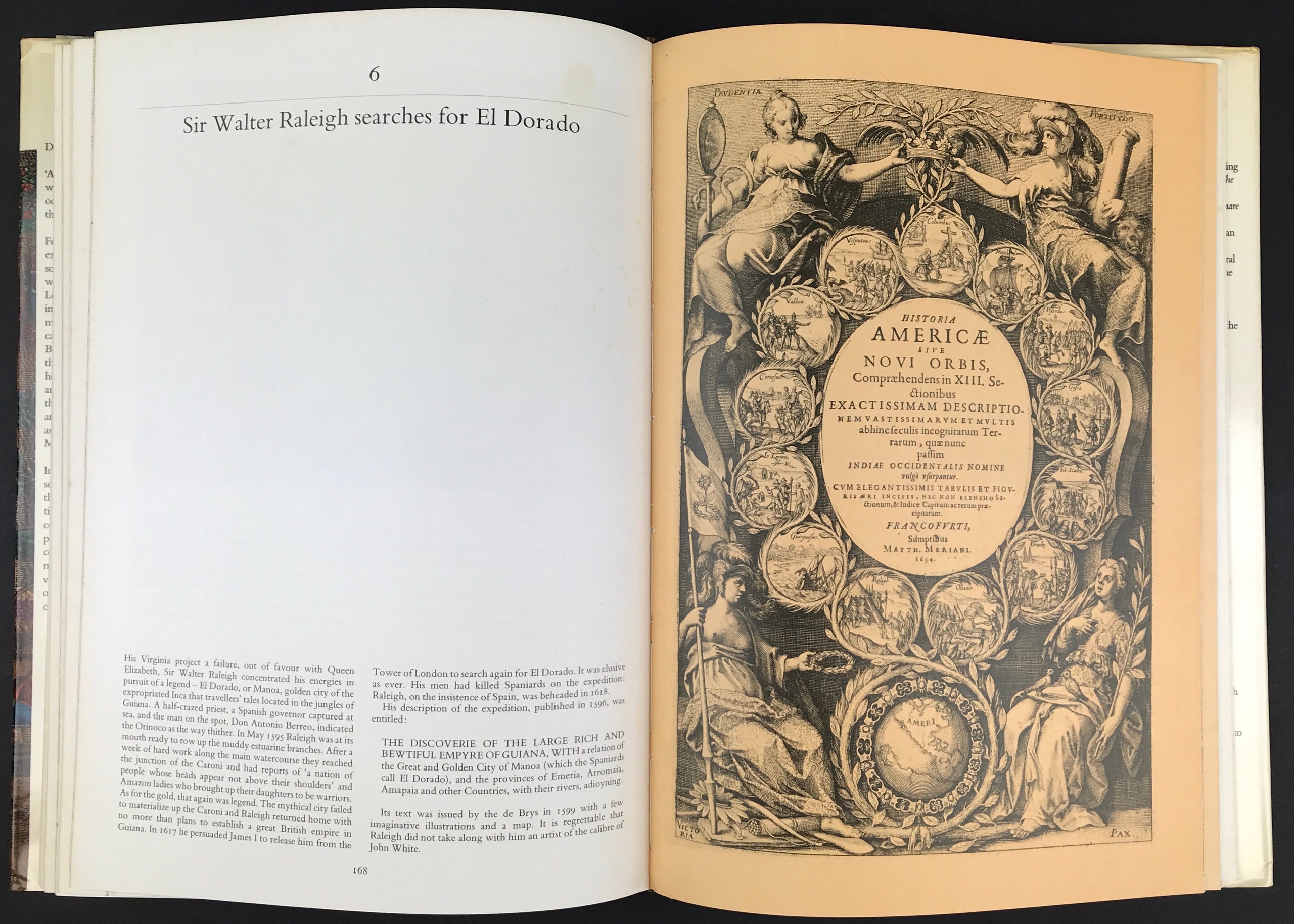
Americans, as a leading art critic has said, 'may well be very odd. But they are not quite so odd as they were thought to be when news of them first got back to Europe. Few artists accompanied the sixteenth-century explorers of the new continent, but there were some. John White went off to Virginia in 1585 with Sir Walter Raleigh's expedition. Jacques Le Moyne lived among the French colonists in Florida in the 1560s. Hans Staden spent nine months as a prisoner of the Tupinamba cannibals in Brazil. And, in 1590, Theodore de Bry, a superb engraver, began to issue his thirteen volumes of Great Voyages, in which he incorporated the drawings, watercolours, and woodcuts of these men, together with those of other artists and the texts of the most articulate travellers, some of whom ranged as far as Guiana, Peru and the Straits of Magellan.

In this book, Michael Alexander has made a selection from these volumes, and has edited the texts in addition to providing introductions and notes. The result is the most complete presentation of De Bry's America pictures to be published since the seventeenth century. We have here, in short, the first material to have given Europeans an accurate view of America as it was seen and recorded on the spot by the earliest observers from overseas.

  • Facebook
  • Twitter
  • Pinterest
  • Google+
Buy Now
Contact Info:     
Rare Maps and Prints Limited 
4, Ray House, Cressington Place,
​Bourne End, Bucks SL8 5SL UK 
                             
Kevin J Ryan :     

email: kevin@raremapsandprints.co.uk         
​
Customer Service     
email: help@raremapsandprints.co.uk           
Picture
Member of
​INTERNATIONAL MAP COLLECTORS SOCIETY 


    Maps & Prints Updates

Subscribe to List

Copyright © 2021  -  Rare Maps and Prints Limited  -  Raremapsandprints.co.uk   All Rights Reserved     Site Map     Terms & Conditions     Privacy Policy
  • Start Here
  • About
  • Maps
    • British Isles
    • English Counties
    • Road Maps
    • River Thames
    • The Americas
    • Asia to Australia
    • Europe & Middle East
    • World & Hemispheres
    • Sea Charts
    • Military Battle Maps
  • Prints
    • British Topography >
      • Views River Thames
      • Views England
      • Views Wales
      • Views London
    • Satire & Caricature >
      • Vanity Fair Prints
      • Tour of Dr Syntax
      • William Hogarth
      • Max Beerbohm
    • Sporting
    • Amorial
    • Military & Naval
    • Portrait
    • Russian Art
    • Views Italy
  • Engravings
    • Copper
    • Steel
    • Etching
    • Wood Block
    • Lithograph
    • Lithotint
    • Aquatint
    • Photogravure
  • Resources
    • Reference Books
  • Blog
  • Contact

    Join Our List

sign up
SHOP
Home
Shop
About
Updates
Contact
SOCIAL
Facebook
Twitter
Instagram
Proudly powered by Weebly