- Antique Maps
- >
- The Americas
- >
- Brazil Published 1822
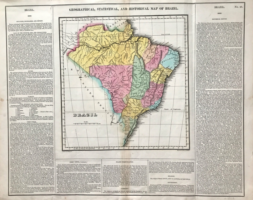
Brazil Published 1822
Historical Map of Brazil c1822 Geographical & Statistical by Finlayson GEOGRAPHICAL, STATISTICAL AND HISTORIC MAP OF BRAZIL c1822, Steel plate engraved Creator: Young & Delleker from: Carey, H.C., and Lea, I. A complete historical, chronological and geographical american atlas Philadelphia, Carey & Lea, 1822. -- No. 48. (P. L. Phillips, A list of geographical atlases ..., no. 1373a.)
Approx engraved area: 16.5" x 20.25" (420mm x 510mm)
Outline & wash hand coloured map, good condition, some age tone blank to verso, folds as issued, small repair to verso bottom margin
Notes: One of the first separate maps of the newly independent Brazil, shortly after the return of the King of Portugal to Brazil, leaving his son to rule the country. The map is surrounded by details on the country, its soil, climate, history, populations, city information, government and a host of other historical and political details. Carey & Lea's Atlas is highly prized not only for its cartographic information but the information about each of the states and territories which is included.
A genuine antique map over 190 years old.

