- Antique Maps
- >
- Reverence Books
- >
- The Atlas of Columbus and the Great Discoveries
The Atlas of Columbus and the Great Discoveries
The Atlas of Columbus and the Great Discoveries
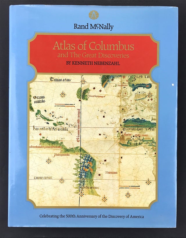
Nebenzahl. K. Publisher: Rand McNally 1990 Size: 12.25" x 10.75" (10mm x 275mm). Hardcover. Condition: Good. Dust Jacket: Good, some wear to edges. Overall condition good.
The Atlas of Columbus and The Great Discoveries brings to us on the eve of the 500th anniversary of Christopher Columbus's discovery of America. a treasury of maps from the fifteenth and sixteenth centuries, the Age of Discovery. Never before have such important maps of the early explorers been assembled in one volume. Here they may be seen together for the combined effect of their profound beauty and historical perspective they bring to our lives.
From a wealth of manuscript maps. portolan sea charts, woodcuts, and copperplate engravings, the author selected the most significant materials of the period. Beginning with the world as known to Europeans before Columbus's first voyage, the maps record the new knowledge assembled during the period of the discovery and exploration of America. They were gathered from the world's great museums, libraries, and private collections, where new film of the original artifacts was made especially for this book. The text conveys concisely, authoritatively, and absorbingly each one's importance idiosyncracies, detail, and beauty. From the introduction through to the final page. the design of this richly illustrated work serves as a handsome and inviting visual reference for the layman and scholar alike.


