- Antique Maps
- >
- The Americas
- >
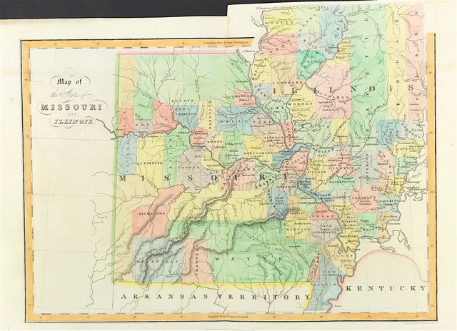
- Missouri & Illinois Published 1831 - SOLD!
Missouri & Illinois Published 1831 - SOLD!
SKU:
£0.00
Unavailable
per item
Antique Map c1831 "Map of Sates of Missouri & Illinois" Published In: An atlas of the United States of North America, corrected to the present period accompanied by a condensed view of the history & geography of each state compiled from the latest official documents. Published by Simpkin & Marshall and Thomas Wardle, Philadelphia. 1832.
General good condition. Excellent detail with later fine hand wash and outline colour.
Engraved area approx: Dimensions: 10.25” x 15.75” (260mm x 400mm)
A genuine antique map over 180 years old

