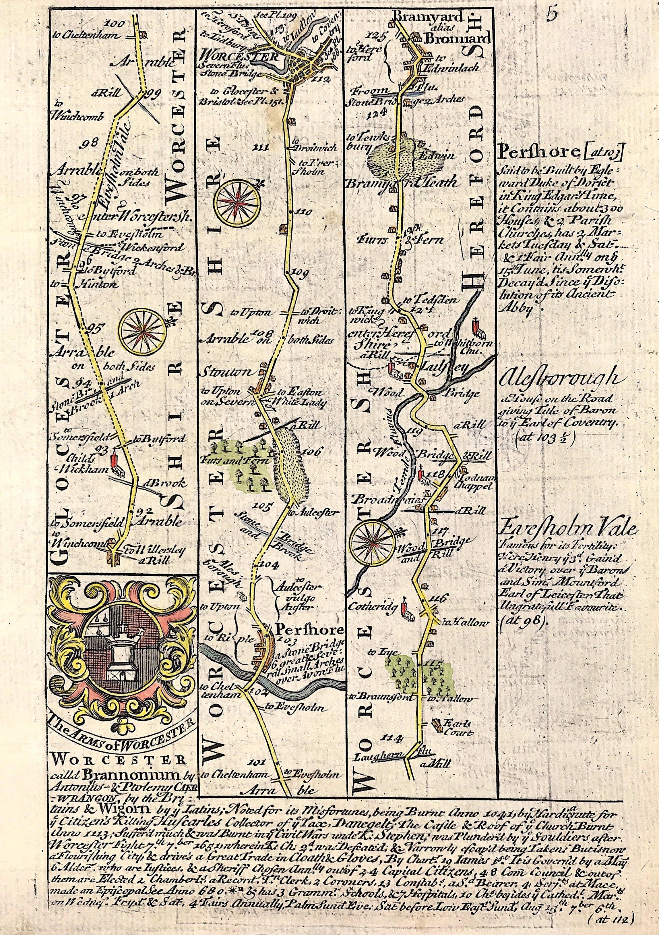
Road Map Gloucestershire c1720
SKU:
£35.00
£35.00
per item
A ROAD MAP OF Gloucestershire, Worcester, Pershore Lulsley, antique c1720 - Plate 5
An original county map from Owen and Bowen road atlas,"Britannia Depicta or Ogilby Improv'd; Being a Correct Copy of Mr. Ogilby's Actual Survey of all ye Direct & Principal Cross Roads in England and Wales…" by John Owen, with maps by Emmanuel Bowen.
Printed & sold by Thomas Bowles, print & map seller in St Pauls Churchyard.
Good condition, copper plate engraving, some age tone, later hand colour
Additional road map to verso - Plate 6 uncoloured
Sheet approx: 7.75" x 5.25" (195mm x 130mm)
A genuine antique map over 270 years old.