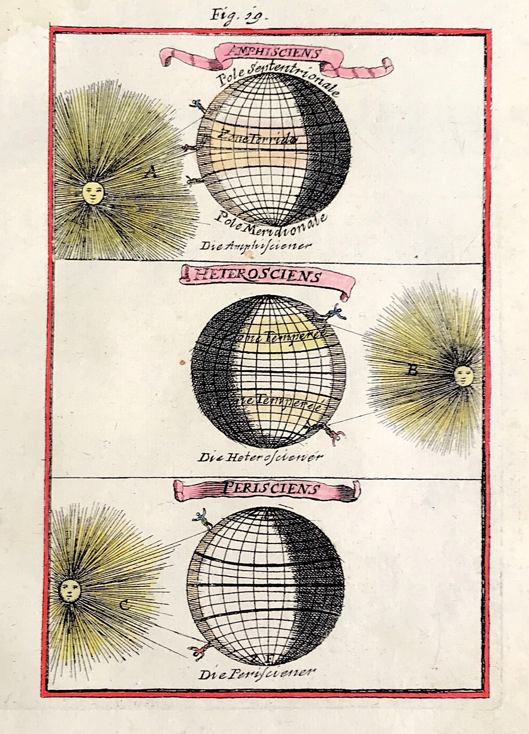
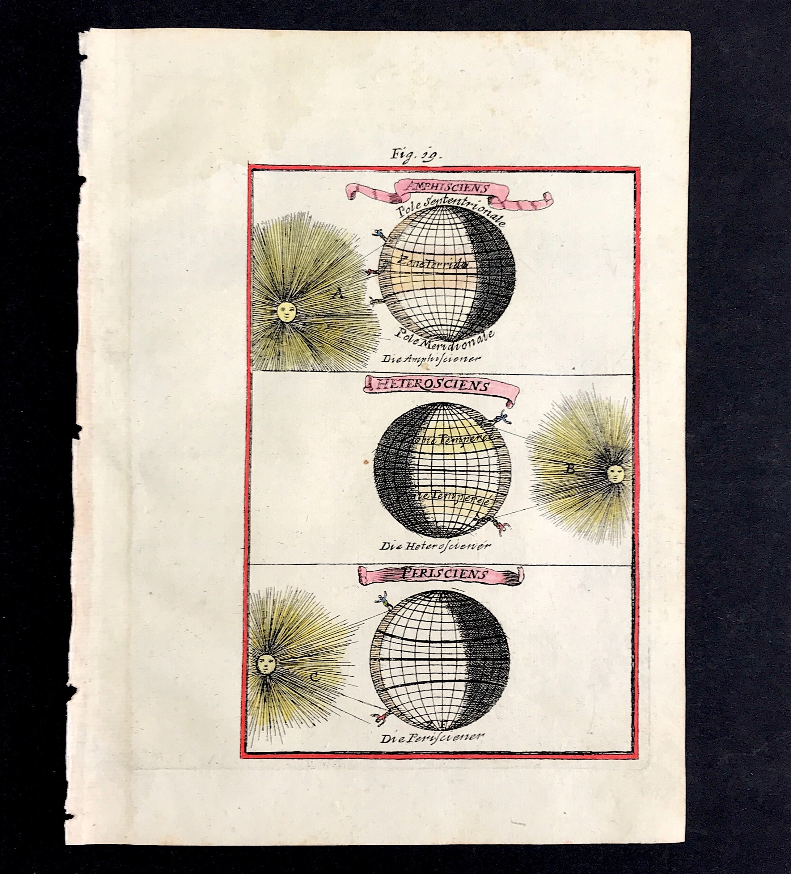
Alignments of Earth & Sun by Mallet c1683
View of the Alignments of Earth & Sun by Alain Manesson Mallet c1684 from 'Description de L'Univers'. Method: Copper plate engraved. Creator: Alain Manesson Mallet. Published: First published 1683. Condition: Excellent condition, fine engraving on hand laid paper with later hand colour. Approx engraved area: 4" x 5 5/8" (102mm x 143mm. Sheet Size approx: 7 5/8" x 6".
Notes: This 330 year old engraving is from Volume 1 of the French text edition published by Johann David Zunner 1684. The plates engraved for Zunner are close copies of the originals and still have French titles and names. A few are signed by there engravers: J.P. Aubrey, Johann J. Vogel and W.C. Daucher.
Alain Manesson Mallet was a French cartographer and engineer. He started his career as a soldier in the army of Louis XIV, became a Sergeant-Major in the artillery and an Inspector of Fortifications. He also served under the King of Portugal, before returning to France, and his appointment to the court of Louis XIV.