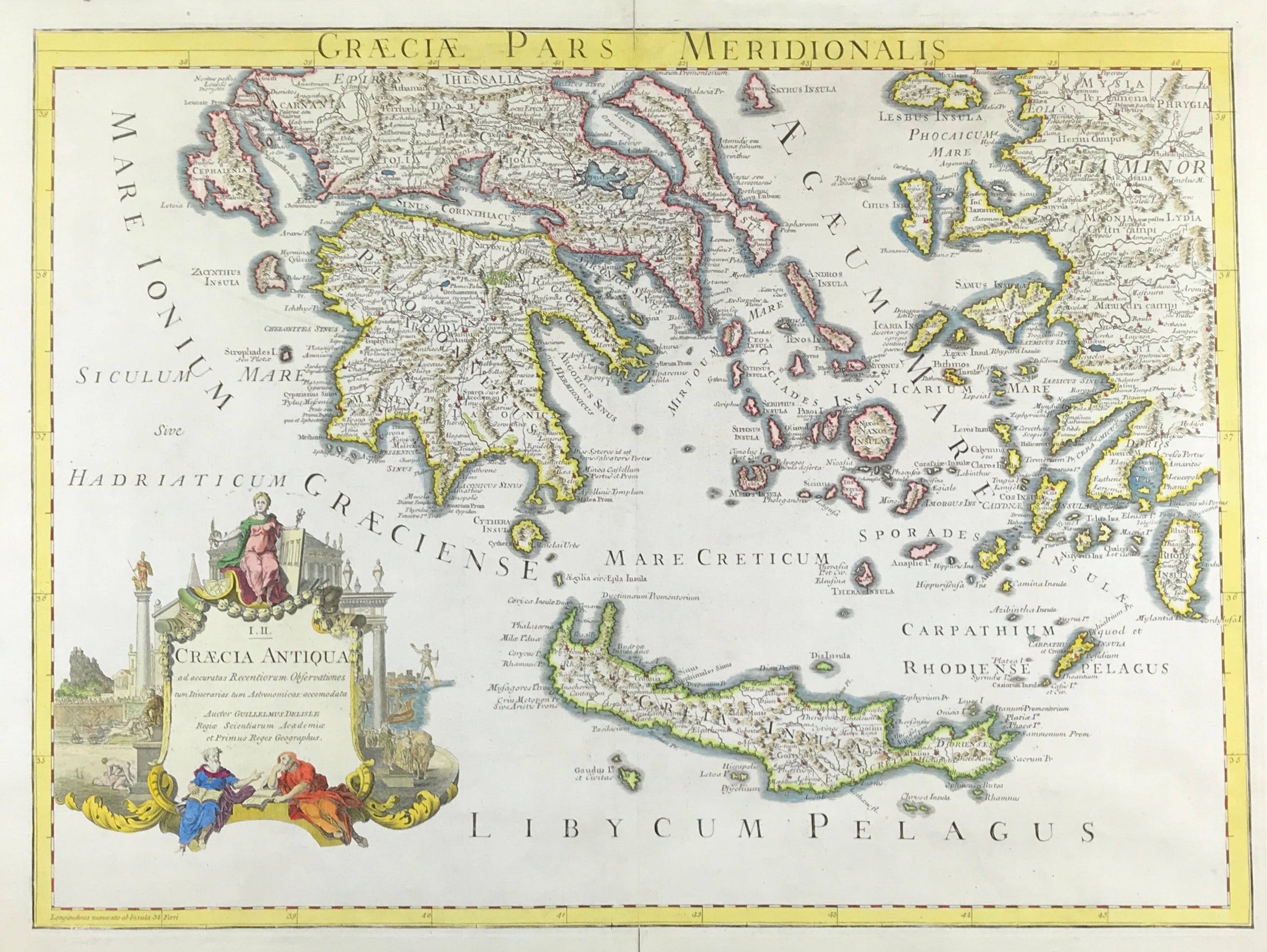
Greece Published 1731 - SOLD!
MAP of ANCIENT GREECE CRETE AEGEAN c1731 by Guillaume Delisle "Graeciae pars Meridionalis." Guillaume Delisle (1675-1726) Leading French cartographer of the C18th who was re-known for the accuracy of his maps. Copper Plate engraved. Guillaume Delisle. c1731
Good condition, fine detail, outline colour, some age tone, clear plate mark, wide boarders. Blank to verso with fold as published. Approx engraved area: 19" X 25" (480mm x 630mm)
Notes: Delisle studied under Jean Cassini and from an early age showed his talent.De L'Isle is important as the first "scientific" cartographer who incorporated the most current information on exploration and topography into his maps. Where he wasunable to verify information conclusively, he would note the fact on his maps.