- Antique Maps
- >
- Europe Middle East
- >
- Holland Published 1840
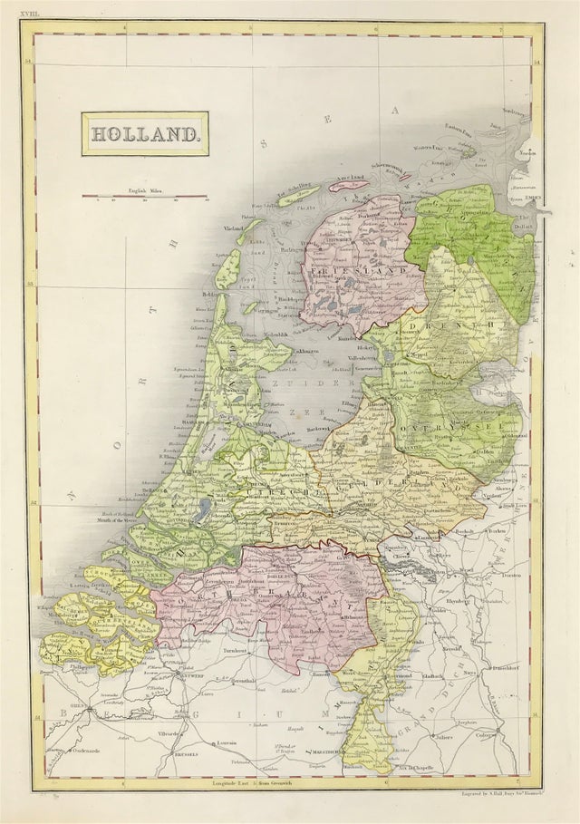
Holland Published 1840
Antique Map of HOLLAND c1840 Engraved by Sidney Hall.
Published: Blacks General Atlas. A Series Of Fifty-Four Maps From The Latest And Most Authentic Sources. Engraved On Steel, In The First Style Of The Art, By Sydney Hall. Edinburgh: Adam And Charles Black.
Good condition, with original outline and later wash colour, some age tone, blank to verso. Engraved area approx: 10" x 15" (225mm x 380mm
Holland is a region and former province on the western coast of the Netherlands. The name Holland is also frequently used informally to refer to the whole of the country of the Netherlands. This usage is commonly accepted in other countries, and sometimes employed by the Dutch themselves.
The Netherlands, a country in northwestern Europe, is known for a flat landscape of canals, tulip fields, windmills and cycling routes. Amsterdam, the capital, is home to the Rijksmuseum, Van Gogh Museum and the house where Jewish diarist Anne Frank hid during WWII. Canalside mansions and a trove of works from artists including Rembrandt and Vermeer remain from the city's 17th-century "Golden Age."
Sidney Hall was a British engraver and cartographer well known and popular for his early nineteenth century atlases containing maps of the United Kingdom and of the ancient world reproduced from Hall's engravings. Hall made engravings for a number of international atlases at a time when cartography and atlases were very popular. Hall engraved maps for William Faden, Aaron Arrowsmith, and Chapman & Hall, among many others.
A Genuine Antique Map over 160 years old.

