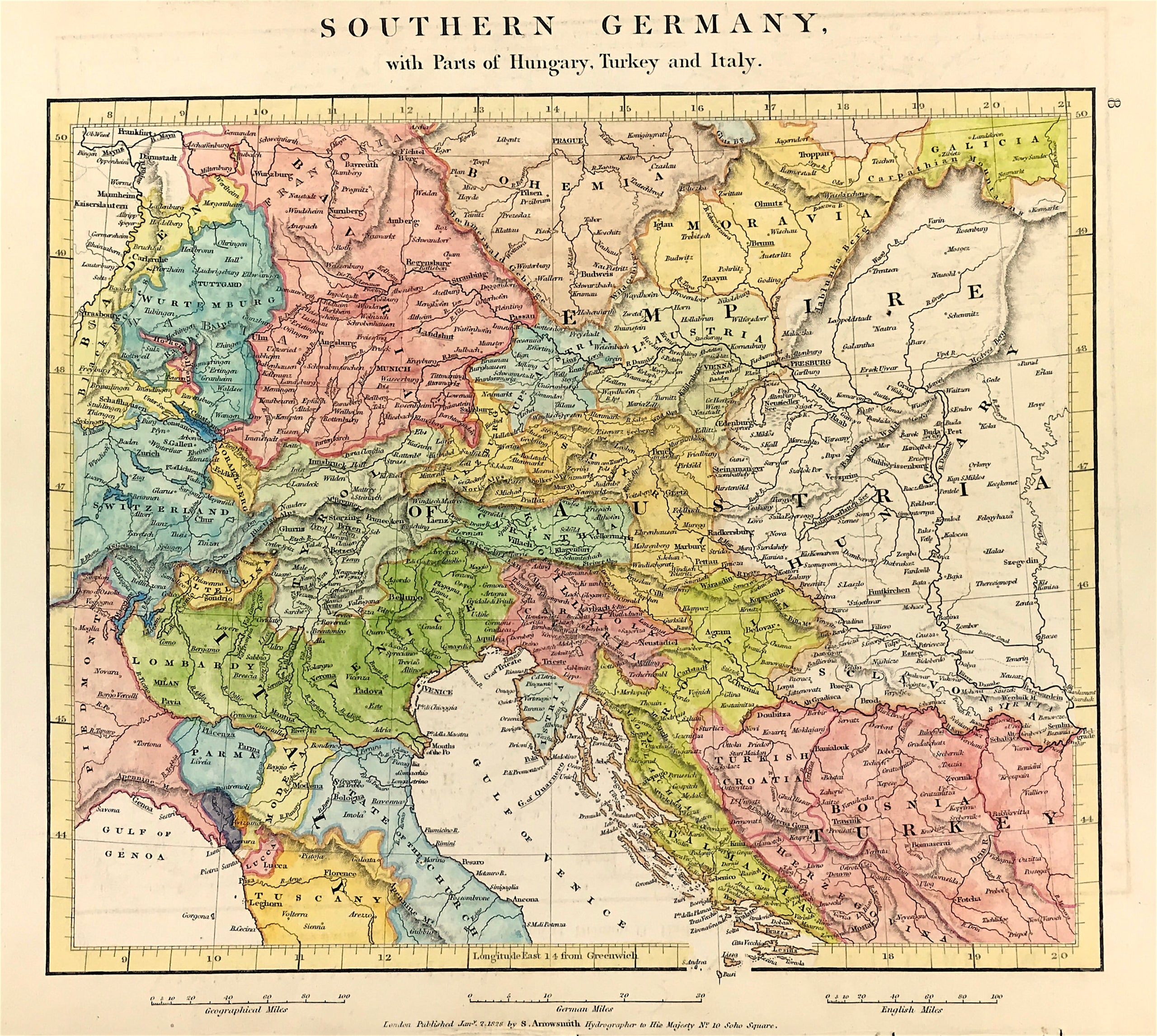
Southern Germany Published 1828
SKU:
£30.00
£30.00
per item
A MAP OF SOUTHERN GERMANY by A. Arrowsmith c1828. Published: London Jan 2nd 1828 by A. Arrowsmith Hydrographer to His Majesty No 10 Soho Square (Date in Plate)
Original hand coloured copper plate engraved map of Southern Germany with parts of Hungary, Turkey and Italy. The map shows regional boundaries, major cities, mountains, rivers including the Nile.
Original engraved map in overall good condition. Fine detail with later outline and wash colour, some age tone. Blank to verso, as published. Engraved area approx: 11" x 9" (280mm x 230mm)
A Genuine antique map over 190 years old.