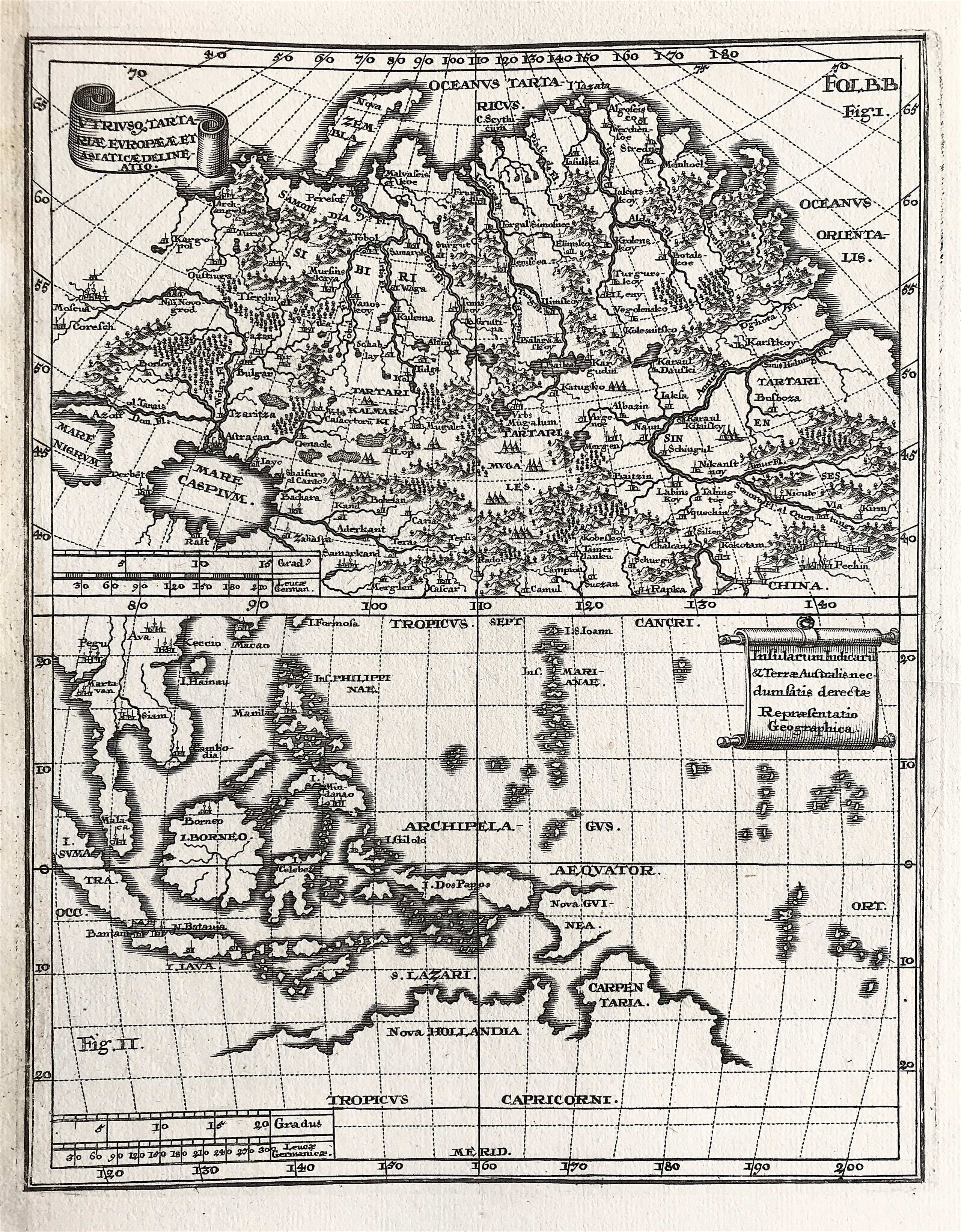
Asia by Scherer c1710
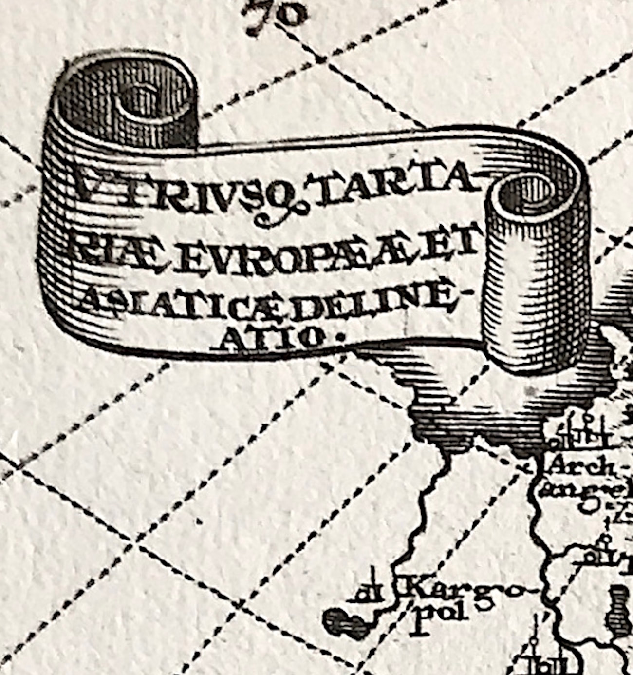
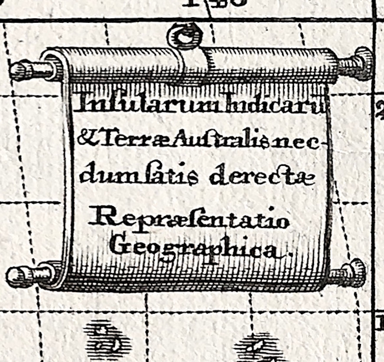
Asien - Delineation of both Tartary, Europe and Asia. of the Indian Islands & Southern Land. Kupferstich aus Scherer, Heinrich: from New Atlas presenting the world of the earth by Heinrich Scherer. (Asien - Utriusque Tartariae, Europaeae et Asiatiae delinatio. Insularum Indicarum & Terre Australis. Kupferstich aus Scherer, Heinrich: Atlas Novus exhibens orbem terraqueum.)
Publisher: Augsburg, Bencard. Engraved Plate area Approx: 190mm x 240mm. Map in overall good clean condition, slight stain to left margin where originally insert book plate.
Note: Heinrich Scherer (1628-1704) was a Professor of Hebrew, Mathematics and Ethics at the University of Dillingen until about 1680. Thereafter he obtained an important position as Official Tutor to the Royal Princes of Mantua and Bavaria. It was during his time in Munich as Tutor to the Princely house of Bavaria that his lifetime’s work as a cartographer received acclaim and recognition. Scherer’s world atlas, the Atlas Novus, first published in Munich between 1702 and 1710 and reissued in a second edition between 1730 and 1737, forms a singularly unusual, almost revolutionary work in terms of the development of European mapmaking at the beginning of the 18th Century.