RARE MAPS AND PRINTS
help@raremapsandprints.co.uk
+44 7788 628706
  • Start Here
  • About
  • Maps
    • British Isles
    • English Counties
    • Road Maps
    • River Thames
    • The Americas
    • Asia to Australia
    • Europe & Middle East
    • World & Hemispheres
    • Sea Charts
    • Military Battle Maps
  • Prints
    • British Topography >
      • Views River Thames
      • Views England
      • Views Wales
      • Views London
    • Satire & Caricature >
      • Vanity Fair Prints
      • Tour of Dr Syntax
      • William Hogarth
      • Max Beerbohm
    • Sporting
    • Amorial
    • Military & Naval
    • Portrait
    • Russian Art
    • Views Italy
  • Engravings
    • Copper
    • Steel
    • Etching
    • Wood Block
    • Lithograph
    • Lithotint
    • Aquatint
    • Photogravure
  • Resources
    • Reference Books
  • Blog
  • Contact

Collecting Antique Maps - Reference Library - Arabia in Early Maps

2/22/2021

Comments

 
I mentioned a couple of weeks back I'd start to highlight some of the excellent reference works that have crossed my path. They continue to provide a wealth of information helping to understand, contextualise, and interpret the maps focused on.  If you're new to collecting I recommend developing a reference library geared towards your subject of interest.  The benefits are many and the knowledge you gain will help you with the decision making process when it comes to future investments for your map collection.
​
Picture

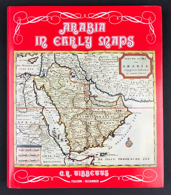
​Above: Arabia in Early Maps by Tibbetts, G R.  Publisher: Falcon Oleander, Cambridge, 1978. Size: 10" x 8.5" (255mm x 215mm). Hardcover.

​This is a bibliography of maps covering the Peninsula of Arabia printed in western Europe from the invention of printing to the year 1751.  Arabia in Early Maps begins with the invention of printing and the production of maps to illustrate Ptolemy's Geography and ends in 1751 with D' Anville's famous map of Asia. It was the production of D'Anville's map which emphasised to the West its ignorance of inland Arabia and led ultimately to the first Scientific expedition to Arabia (that of Niebuhr in 1761-4) and the opening of European interest in the Peninsula.

If you're new to collecting antique maps you've probably realised the need for a reference library.  These books are a critical resource when it comes to understanding about maps and learning about your subject of interest.  If Arabia is your thing . . .

More info on Arabia in Early Maps by Tibbetts, G R. can be found HERE

Happy Reference Book Hunting!

Comments

    LEARN ABOUT MAPS

    Where to Start?  
    The Paper  
    Earliest Maps  
    Whats on the Paper? 
    Rectum & Recto  
    Marketing Devices   
    Why Changing Faces?
    What is  Ornamentation?
    Why all those lines?
    The Embellishment Story

    Illogical Prices Explained
    ​A Reference Library
    ​
    CLICK THE BOOK
    Picture
    Get the FREE Guide!
    ​
    ​
    COLLECTING MAPS

    ​Size Matters!

    Celestial Maps
    Strip Road Maps
    Sea Charts
    On the River of Life
    Projections
    The Sea Monsters
    Thematic Maps
    ​Town Plans


    Buy with Confidence. . . 
    Picture
    More Top Tips for the Novice.  Click the book to find out more . . .
    COLLECTING PRINTS
    ​

    Views of River Thames
    Views of London
    Shipping & Craft
    ​Meet the Fairies
    Maritime Naval
    Military Battles
    Botanical 
    Historic Churches
    Historic Views of Rome

    Archives

    April 2021
    March 2021
    February 2021
    January 2021
    December 2020
    November 2020
    October 2020
    September 2020
    March 2020
    November 2019
    June 2019
    May 2019
    April 2019
    March 2019

Contact Info:     
Rare Maps and Prints Limited 
4, Ray House, Cressington Place,
​Bourne End, Bucks SL8 5SL UK 
                             
Kevin J Ryan :     

email: kevin@raremapsandprints.co.uk         
​
Customer Service     
email: help@raremapsandprints.co.uk           
Picture
Member of
​INTERNATIONAL MAP COLLECTORS SOCIETY 


    Maps & Prints Updates

Subscribe to List

Copyright © 2021  -  Rare Maps and Prints Limited  -  Raremapsandprints.co.uk   All Rights Reserved     Site Map     Terms & Conditions     Privacy Policy
  • Start Here
  • About
  • Maps
    • British Isles
    • English Counties
    • Road Maps
    • River Thames
    • The Americas
    • Asia to Australia
    • Europe & Middle East
    • World & Hemispheres
    • Sea Charts
    • Military Battle Maps
  • Prints
    • British Topography >
      • Views River Thames
      • Views England
      • Views Wales
      • Views London
    • Satire & Caricature >
      • Vanity Fair Prints
      • Tour of Dr Syntax
      • William Hogarth
      • Max Beerbohm
    • Sporting
    • Amorial
    • Military & Naval
    • Portrait
    • Russian Art
    • Views Italy
  • Engravings
    • Copper
    • Steel
    • Etching
    • Wood Block
    • Lithograph
    • Lithotint
    • Aquatint
    • Photogravure
  • Resources
    • Reference Books
  • Blog
  • Contact

    Join Our List

sign up
SHOP
Home
Shop
About
Updates
Contact
SOCIAL
Facebook
Twitter
Instagram
Proudly powered by Weebly