|
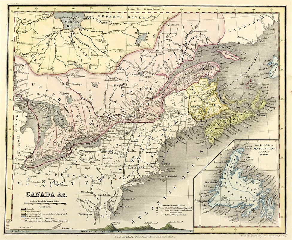
While we're still on the subject of 'kinds of maps' that are available to the newbie antique map collector, here's another one for you. Thematic Maps will need to be added to your list of possibilities. The range of themes is just about unlimited and generally cover physical, political, economic and social aspects connected with a specific geographical area. If geography and especially mountain ranges are of interest to you then the map below is for you! Above: Antique Map of Canada c1840. Shows Classification of Places, Population and Mountain Ranges Height above Sea Level. Drawn and Engraved by John Dower, Pentonville London.
Many of these maps came into existence in the first part of the nineteenth century with the onset of the Industrial Revolution. The rapid technical advances in mapmaking and colour printing making this possible. The field of thematic maps is vast and interesting and its an area where you can build a collection for a relatively modest financial investment. Happy Hunting! You can see more of these 'Mountain Range' maps on my etsy site HERE, |
LEARN ABOUT MAPS Where to Start? The Paper Earliest Maps Whats on the Paper? Rectum & Recto Marketing Devices Why Changing Faces? What is Ornamentation? Why all those lines? The Embellishment Story Illogical Prices Explained A Reference Library CLICK THE BOOK
Get the FREE Guide!
COLLECTING MAPS
Size Matters! Celestial Maps Strip Road Maps Sea Charts On the River of Life Projections The Sea Monsters Thematic Maps Town Plans Buy with Confidence. . .
More Top Tips for the Novice. Click the book to find out more . . .
COLLECTING PRINTS
Views of River Thames
Views of London Shipping & Craft Meet the Fairies Maritime Naval Military Battles Botanical Historic Churches Historic Views of Rome Archives
May 2024
|


