|
John Seller, appointed Hydrographer to Charles II in I671, was a maker of mathematical instruments and globes as well as a publisher of marine and terrestrial atlases. His output was considerable and wide-ranging,covering individual charts and maps and complete atlases, but throughout his life he was beset with financial problems which limited the scope of his bigger projects. Of these, the English Pilot, the first part of which successful, but he was able to complete only the first volume without assistance. The details of issue of the later volumes and their subsequent editions are too complicated to be covered here; suffice to say that the work was continued in one form or another for over a century, being issued under many different namesincluding John and Samuel Thornton, W. Fisher, C. Price, Richard and William Mount, Thomas Page and Davidson. 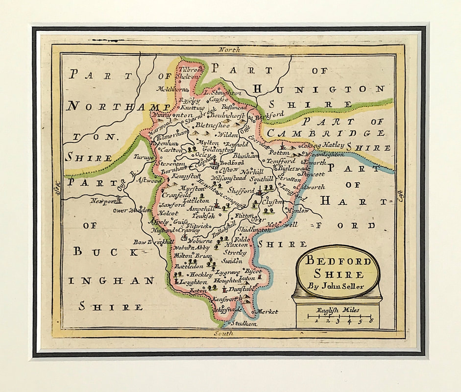 Above: Antique map of Bedfordshire which appeared in John Seller's Anglia Contracta (London: J. Seller, 1694/1695). John Seller (fl. 1660-1697 Engraved area approx: 5" x 6" ( 125mm x 150mm) to plate mark. External mount size: 10.25" X 11" (260mm x 280mm). See Bedfordshire Map
Although the Englisb Pilot was a popular work, Seller used Dutch sources and often actual Dutch copper plates which he adapted for the market by the use of English titles and details. As many of these plates were up to fifty years old their accuracy left much to be desired, a fact which directly inspired the call for a new coastal survey subsequently completed by Captain Greenvile Collins. Later, in 1695, Seller published an Atlas of County Maps, the Anglia Contracta. (Text extract from Antique Maps a Collectors Guide: Moreland C. & David Bannister. Publisher: Phaidon Christie's limited 1989. Antique Maps a Collectors Guide Another book recommendation for the novice antique map collector. One of the major problems confronting the collector is that of identifying the maps he collects. This is often difficult, for many maps lack the maker's name, the date, the publisher or other helpful detail. Owing to the practices of map publishers in the 16th, 17th and 18th centuries, attributions of a very large number of maps and their identification is today a matter for the expert. In this book Mr Tooley lists and describes nearly 500 maps in such detail as to facilitate identification. He gives the full title, maker's name-often a short biography-size, date, edition or re-issue, significant internal changes and variations. In addition, as an indispensable visual aid to identification the book contains more than 100 full-page reproductions of maps, six in full colour. . . 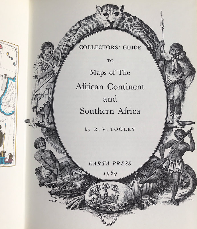 Above: Collectors Guide to Maps of The African Continent and Southern Africa. Tooley R.V. Publisher: Carta Press 1969
Size: 10" x 7.5" (255mm x 190mm). Hardcover. Condition: Good. Dust Jacket Condition: Good. See more antique maps Reference Books The maps of Robert Morden (1611-1703) remain ever popular with collectors of English County Maps. Morden occupied premises in New Cheapside and Cornhill London, where he carried on business under the sign of "The Atlas" as a map, book seller and maker of instruments and globes. Not an outstanding cartographer his work was much critizised, but he produced intertesting sets of geographical playing cards, maps of various parts of the world and as shown below county maps for Camden's Britannica which he is best known for. 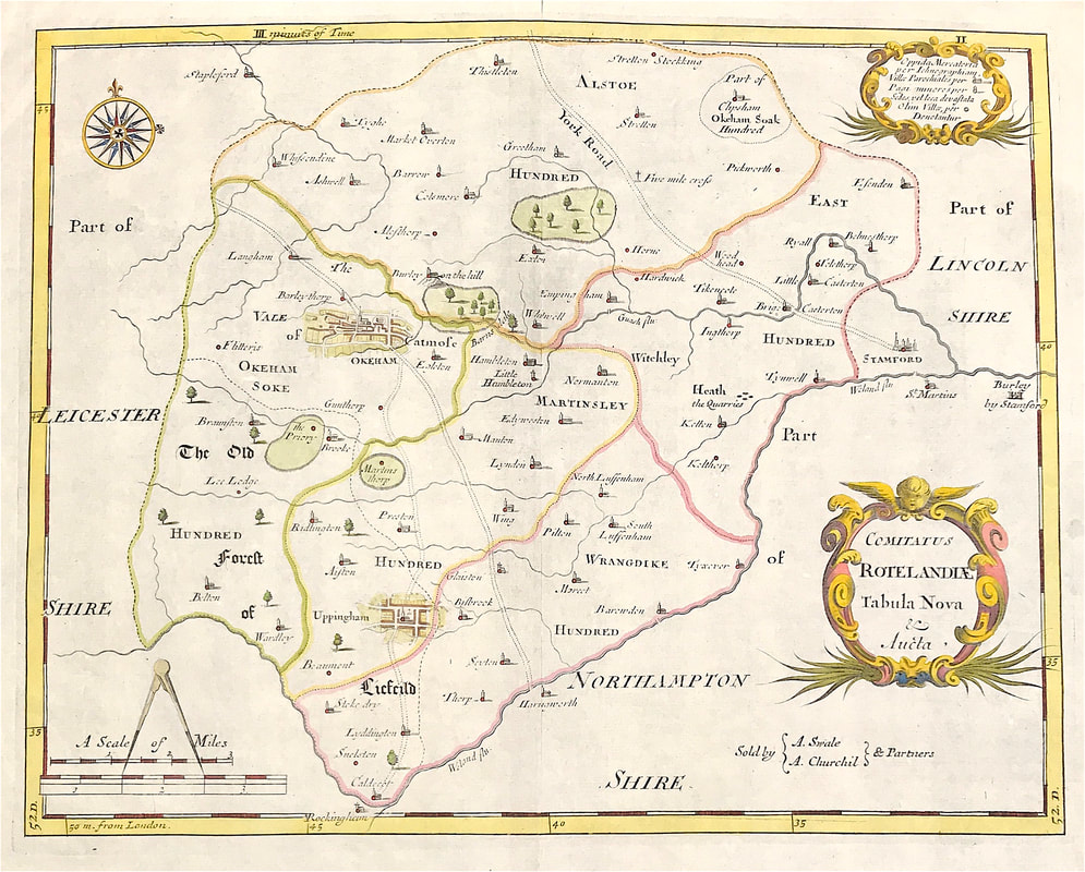 Above: Map of Rutlandshire "Comitatus Rotelandia Tabula Nova & Aucta" by Robert Morden c1722. A finely engraved and detailed map on hand laid paper. Decorative Cartouche. Published in Camden's Britannia by Abel Swale, Awnsham and John Churchill, London. This map comes from ''Camden's Britannia, Newly Translated into English: with large additions and improvements. Translated by Edmund Gibson, Editions 1695 & 1722''
Bath - Aquaduct Bridge Claverton c1805. Aquatint and etching with original hand colouring. London, Publish'd 1805 by William Miller, Abermarle Street. Original print on watermarked J. Whatman 1801 wove paper. Superb aquatint by John Hill after the painter and draughtman John Claude Nattes. If you don't know the work of John Hill you really are missing something . . . 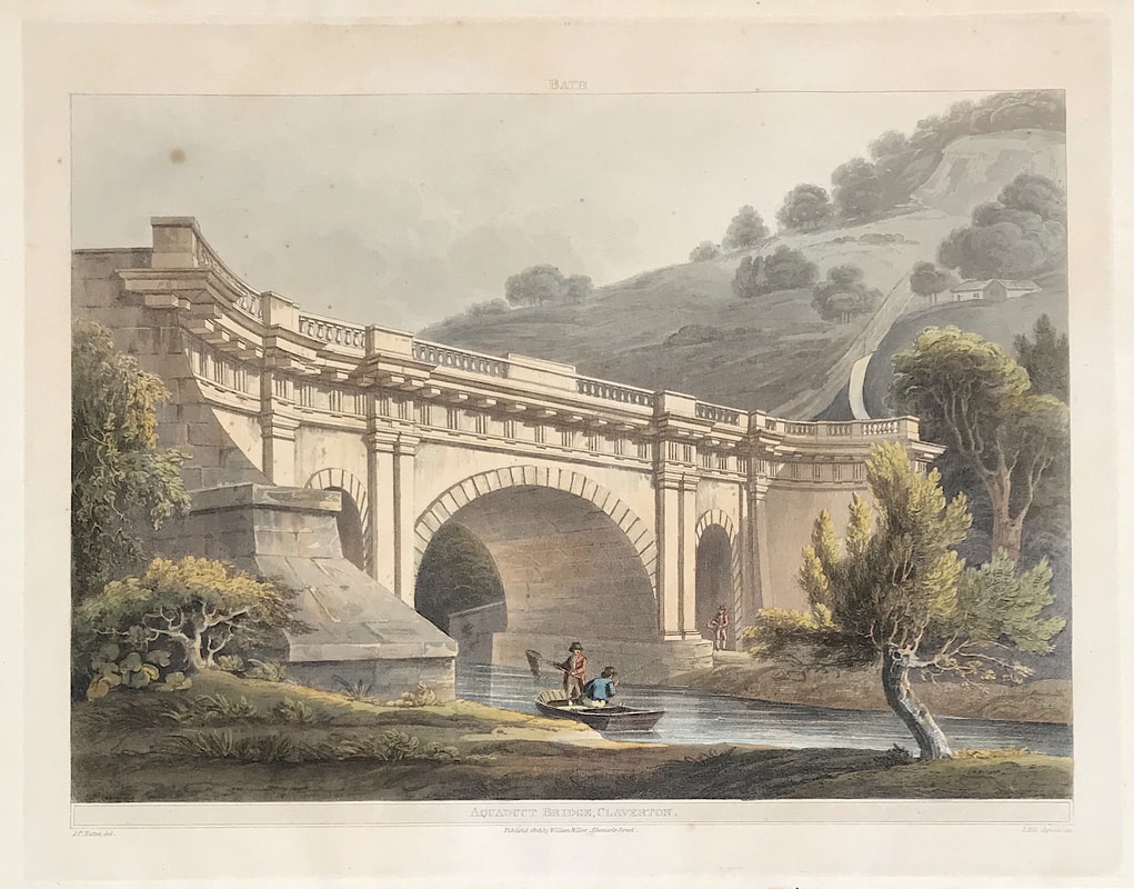 John Hill (1770-1849) began his career as an aquatint engraver of landscapes in his native London, publishing a series of views after the paintings of J.M.W. Turner and others. He immigrated to the U.S. in 1816 and continued engraving for the next 20 years, first in Philadelphia and later in New York. Hill is well known for his pair of New York City prints New York From Weehawk and the companion view New York from Heights near Brooklyn after views by William Guy Wall (1792-1864). He also did the engravings after views by Wall for the Hudson River Portfolio (1821-1825), a set of 20 hand-colored aquatint views along over 200 miles of the Hudson River, from New York City to the Adirondacks. Published by Henry J. Megarey in New York with text by John Agg, the Hudson River prints are considered amongst the finest produced in 19th-century America. Hill is also renowned for his 20 hand colored aquatint views after paintings by Joshua Shaw published between 1820 and 1821 in what is familiarly called The Landscape Album. His son and grandson, John William Hill and John Henry Hill, also became noted landscape painters. More on Aquaduct Bridge Claverton Bath. |
LEARN ABOUT MAPS Where to Start? The Paper Earliest Maps Whats on the Paper? Rectum & Recto Marketing Devices Why Changing Faces? What is Ornamentation? Why all those lines? The Embellishment Story Illogical Prices Explained A Reference Library CLICK THE BOOK
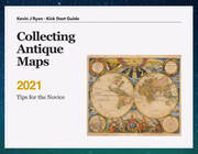
Get the FREE Guide!
COLLECTING MAPS
Size Matters! Celestial Maps Strip Road Maps Sea Charts On the River of Life Projections The Sea Monsters Thematic Maps Town Plans Buy with Confidence. . .
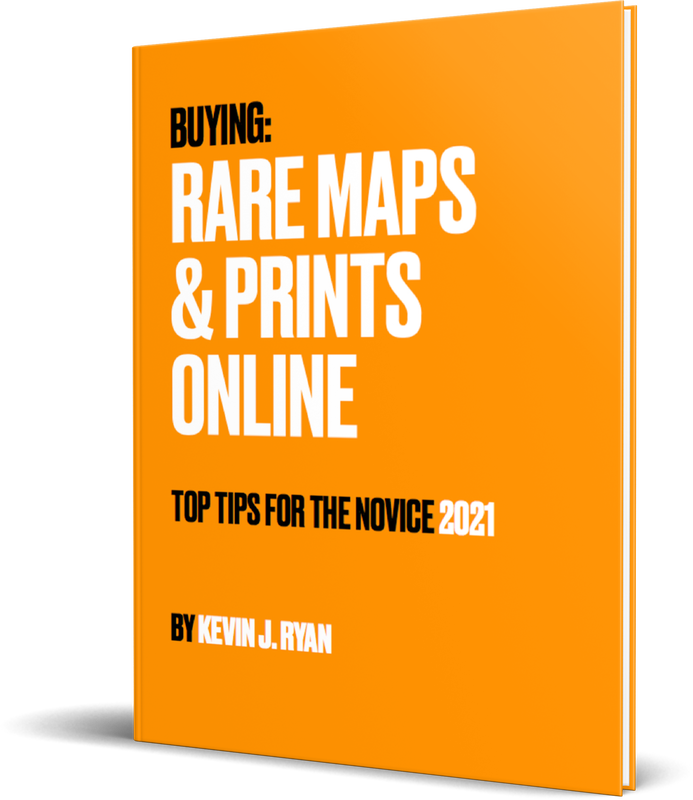
More Top Tips for the Novice. Click the book to find out more . . .
COLLECTING PRINTS
Views of River Thames
Views of London Shipping & Craft Meet the Fairies Maritime Naval Military Battles Botanical Historic Churches Historic Views of Rome Archives
May 2024
|