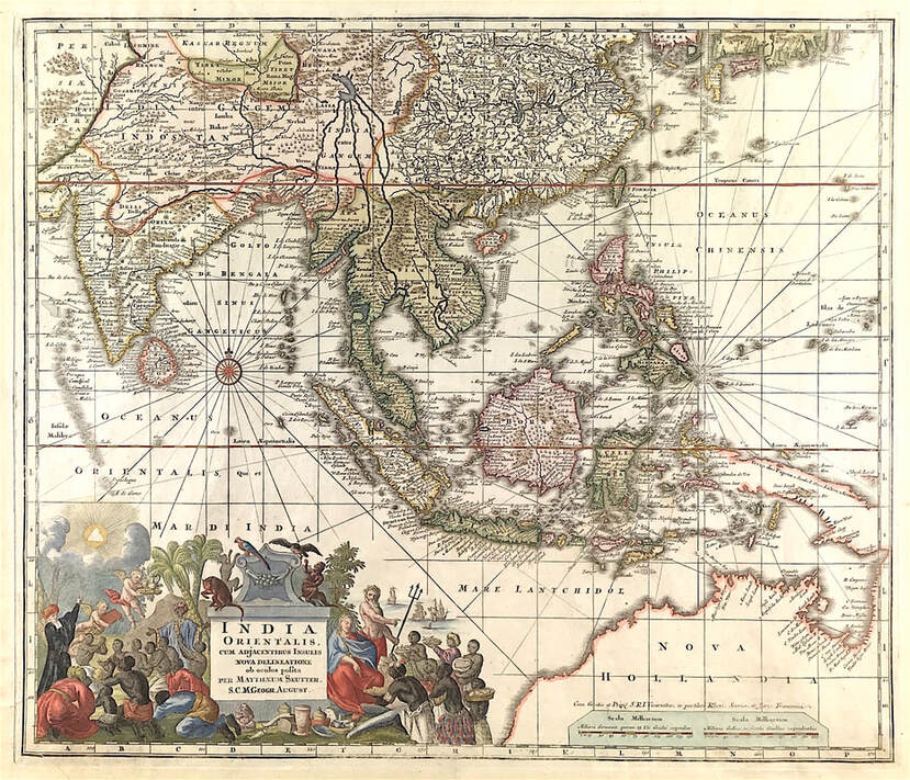
 If you're new to collecting antique maps one of the first things that confuses the novice is the term 'original map'. This is compounded by the fact that many maps are attributed to differing people, sometimes the cartographer or the engraver, sometimes to the publisher. Often map dealers will simply use the most famous name associated with the map. So what exactly is an original? If there are many, how can they all be original? It's simple, when it comes to antique maps as with prints the term original refers to a print pulled from a plate or block that was made at a specific time in history. If a run of 100 prints were pulled from a copperplate of a c1700 map then each is an original. Today we are plagued with online sites saturated with reproductions of antique maps and prints. These reproductions are copies made by some other modern method more recent. Price alone should indicate as to original or reproduction but for those new to collecting its wise to do some basic research and be able to distinguish the different processes used in map making. This will aid you in making the right call when it comes to buying. 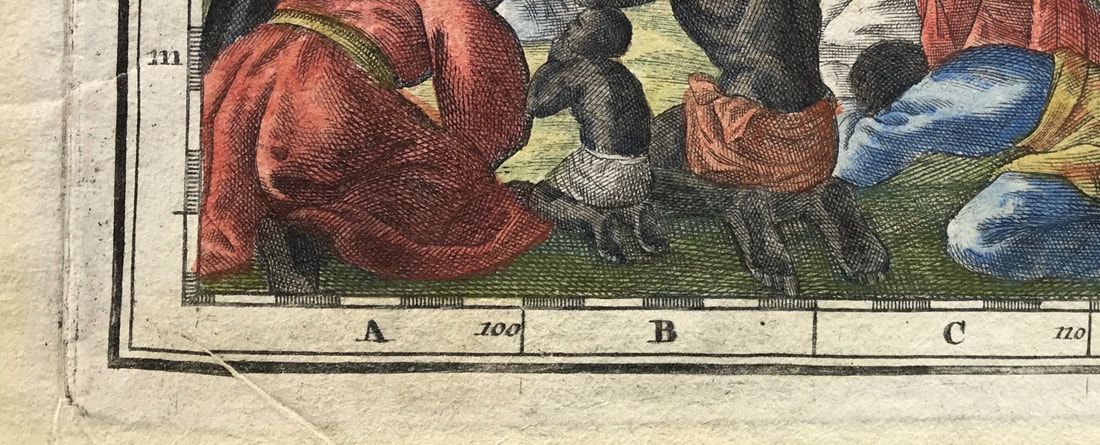 To keep this post brief and give you something of a simple place to start if you're interested in maps made between c1600 to late c1700 these antique maps were printed using the intaglio print process. Basically the image is formed by cutting groves in the metal copper plate. The grooves were filled with ink and the paper pressed onto the plate. This forced the fibres into the grooves to take up the ink resulting in the image being pressed onto the paper. In the image above you can see the image has been pressed into the paper. Notice the clearly visible plate mark around the edge of the image. Notice also the texture of the hand made paper. 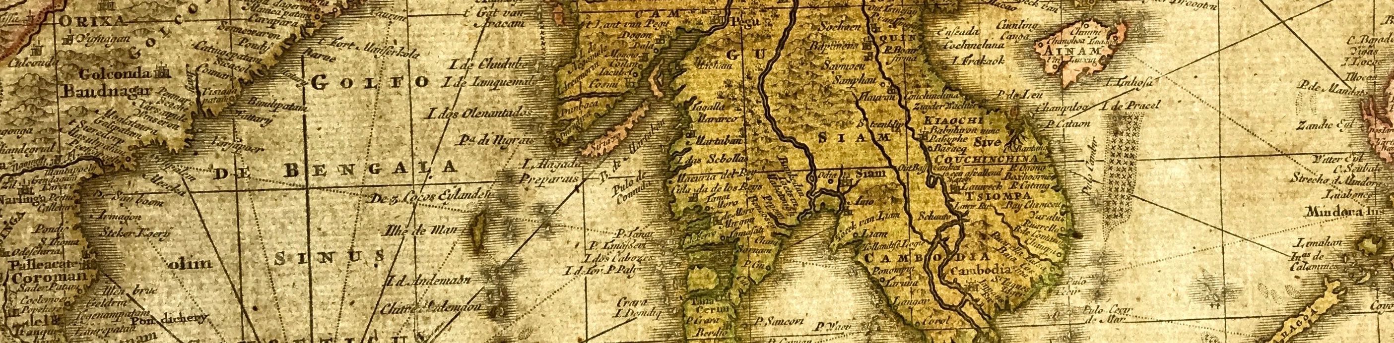 I would suggest a real help to you as a new collector of maps is to get an understanding of what the map was printed onto, yes, the paper! Getting an understanding of the history of paper making and how it relates to old maps is the real place to start. Have you heard the term 'laid paper' or seen it used by a dealer in describing a map. All maps were printed on laid paper up until around the end of the 18th century. This process involved a slurry being made from linen and cotton rags and each sheet of paper being made by hand. The slurry was spread over a handmade wire screen mold. 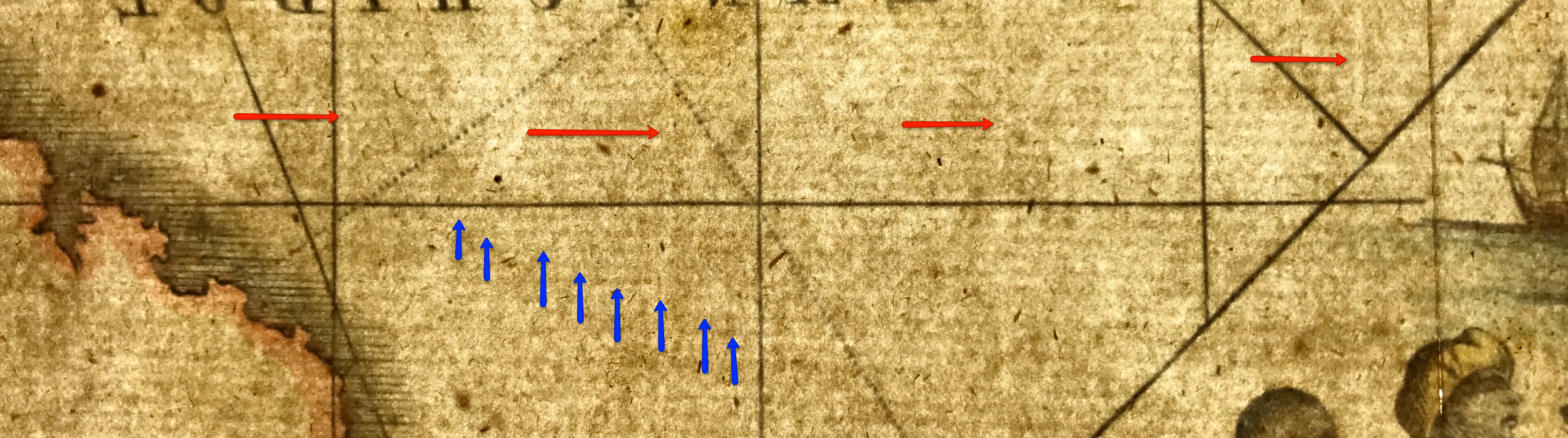 This laid paper has a very distinct appearance and is identified by the visible lines seen in the paper when held up to bright light. The vertical lines (Red arrows), normally about an inch apart, called chain lines are clearly distinguishable from the horizontal lines (Blue arrows) called laid lines. Hence laid paper. This is why its so important when possible to be able to examine an old map especially when you're new to map collecting and maybe not so familiar with knowing what to look for when it come to identifying and dating a map. So the place to start is with the paper. In the coming weeks I'll share more info on this subject, this is a start, it's not just what's on the paper, its the very paper itself thats all important. This is why I recommend the more you can go to auctions, see antique maps, touch them, feel the paper, examine it, hold the map up to the light. then you will start to see there is another world of exploration under the surface of the image - The all important paper! Have fun! The map and images above: Rare Map of Southeast Asia, Indian Ocean and Australia "India Orientalis cum Adjacentibus Insulis Nova Delineatione ob oculos posita . ." c1730/42 Matthaus Seutter. SEE THE MAP HERE
Click the link to continue to Part 2 in the Series Collecting Antique Maps |
LEARN ABOUT MAPS Where to Start? The Paper Earliest Maps Whats on the Paper? Rectum & Recto Marketing Devices Why Changing Faces? What is Ornamentation? Why all those lines? The Embellishment Story Illogical Prices Explained A Reference Library CLICK THE BOOK
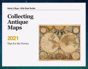
Get the FREE Guide!
COLLECTING MAPS
Size Matters! Celestial Maps Strip Road Maps Sea Charts On the River of Life Projections The Sea Monsters Thematic Maps Town Plans Buy with Confidence. . .
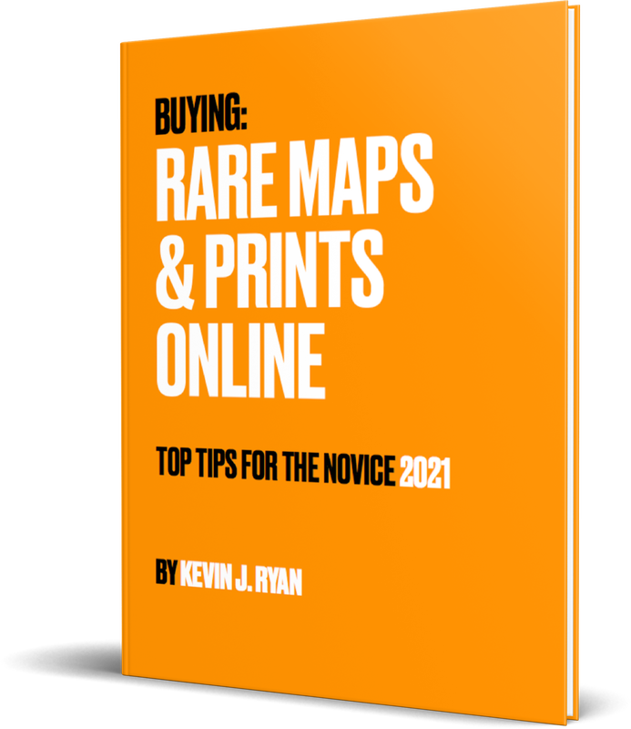
More Top Tips for the Novice. Click the book to find out more . . .
COLLECTING PRINTS
Views of River Thames
Views of London Shipping & Craft Meet the Fairies Maritime Naval Military Battles Botanical Historic Churches Historic Views of Rome Archives
May 2024
|