- Published on
The maps of Robert Morden (1611-1703) remain ever popular with collectors of English County Maps. Morden occupied premises in New Cheapside and Cornhill London, where he carried on business under the sign of "The Atlas" as a map, book seller and maker of instruments and globes. Not an outstanding cartographer his work was much critizised, but he produced intertesting sets of geographical playing cards, maps of various parts of the world and as shown below county maps for Camden's Britannica which he is best known for.
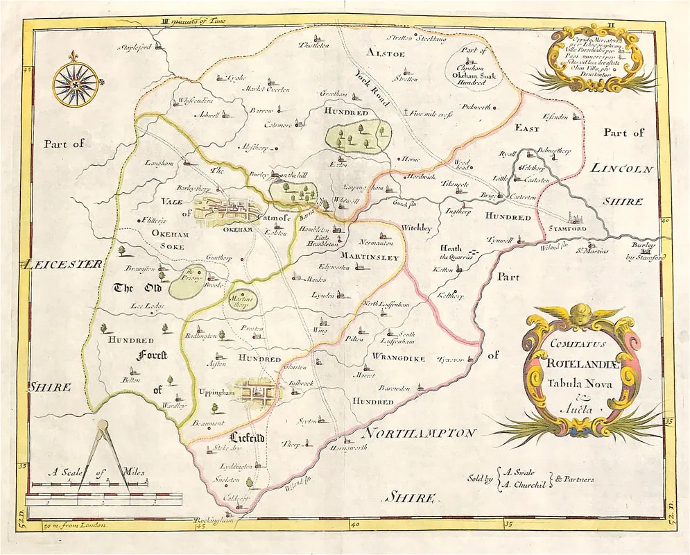
Above: Map of Rutlandshire "Comitatus Rotelandia Tabula Nova & Aucta" by Robert Morden c1722. A finely engraved and detailed map on hand laid paper. Decorative Cartouche. Published in Camden's Britannia by Abel Swale, Awnsham and John Churchill, London. This map comes from ''Camden's Britannia, Newly Translated into English: with large additions and improvements. Translated by Edmund Gibson, Editions 1695 & 1722''
0 Comments

