- Published on
Another book recommendation for novice antique map collector. As previously mentioned I recommend developing a reference library geared towards your specific subject of interest. The benefits are many and the knowledge you gain will help you with the decision making process when it comes to future investments for your map collection. If North America is of interest to you then this one is for you. The mapping of America focuses on the development of cartography and the geography, territorial expansion, and demographic, political, scientific, and industrial growth of North America are recorded in maps from the sixteenth century to the present.
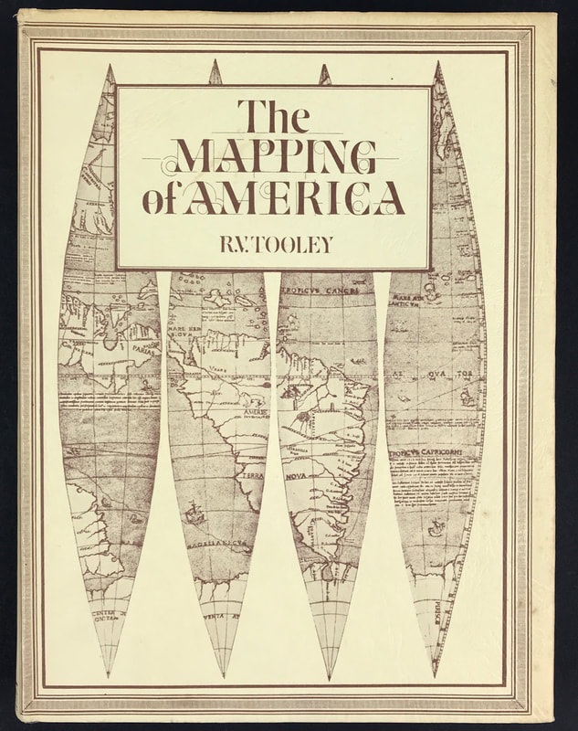
Above: R. V. Tooley's Mapping of America. Publisher: Holland Press Cartographica 2 & North American Distribution by W. Graham Arader III.
This publication was the second volume in the Holland Press Cartographica series and followed the style and format of volume one. Several of the articles are contributed by Ronald Tooley's friends: Coolie Verner with his Yorktown Campaign and Smith's Virginia; Tony Campbell's revised article on the Jansson-Visscher Maps of New England; Stevens and Tree's Comparative Geography and Skelton's Marine Survey's of James Cook in North America, 1758-1768. Most of the articles were previously published in the Map Collectors Series. An occasional correction or addition has been added, two new articles by Tooley included on The Mapping of the Great Lakes and the identification of the Maps of America in the various editions of the Theatrum of Ortelius respectively, and a comprehensive index to all the numbers and plates supplied.
These books are a great resource when it comes to understanding about maps and learning about your subject of interest.
More info on Tooley's The Mapping of America can be found HERE
Happy Reference Book Hunting!
0 Comments

