- Published on
Here's another book recommendation for the novice antique map collector especially if you're interest is the British Isles. County Atlases of the British Isles is designed as an aid to the study of the evolution of the English county atlas by establishing the genetic relationship between atlases, by tracing the history and successive users of map-plates, and by providing descriptions in such detail as to enable loose sheets, single maps, to be assigned to the atlas in which they were originally issued.
A section of particular value is that on the history of the English map trade during the Tudor and Stuart periods. This original contribution to the subject is made from systematic examination of original documents such as map-sellers catalogues and wills. Important too are the three separate, comprehensive indexes: of persons, subjects, and titles.
A section of particular value is that on the history of the English map trade during the Tudor and Stuart periods. This original contribution to the subject is made from systematic examination of original documents such as map-sellers catalogues and wills. Important too are the three separate, comprehensive indexes: of persons, subjects, and titles.
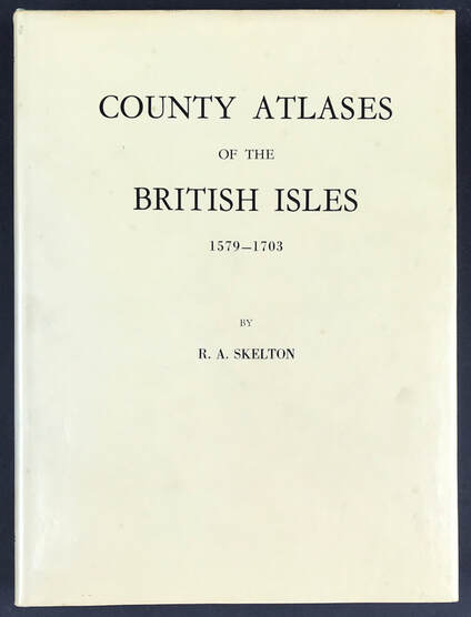
Above: Collecting Antique Maps - County Atlases of the British Isles 1579-1703. Skelton R.A. Sometime Superintendent of the Map Room in the British Museum and Honoray Secretary of the Hakluyt Society. Publisher: Carta Press 1970.
Collectors of county maps and atlases will find Skelton's authoritative book an indispensable reference work of permanent value. Developing a reference library geared towards your subject of interest is well worth doing. If that interest is the 'British Isles' then this is a super reference work that will set you right especially if you want to invest in maps of Books like this one are a great resource when it comes to understanding about maps and learning about your subject of interest. The benefits are many and the knowledge you gain will help you with the decision making process when it comes to future investments for your map collection.
I have a copy of "County Atlases of the British Isles 1579-1703" available on my website HERE
Happy Reference Book Hunting!
0 Comments