|
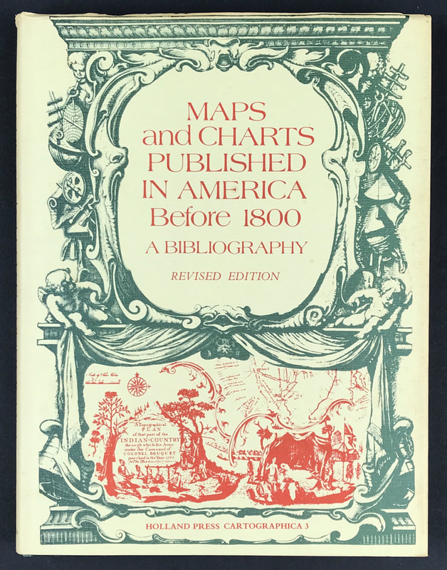
Another book recommendation for the novice antique map collector. When first published in 1969 by Yale University Press, this Bibliography represented the first attempt to describe the entire known cartographical contribution of the American press prior to 1800 and as such provided an exhaustive and annotated listing of great value to the historian and cartographer. . . Above; Maps and Charts Published in America Before 1800 A Bibliography - Revised Edition.James Clements Wheat and Christian F. Brun. Publisher: Holland Press Cartographica.3. 1978.The book includes not only the maps and charts published separately but also those used as illustrations in books and pamphlets and from other sources such as atlases, gazetteers, almanacs, and magazines. Intended originally as a descriptive list of American printed maps and charts in the William L. Clements Library of American History, University of Michigan, the project was enlarged to include all such maps located in the original map collections of the United States and Great Britain.
I have a copy of "Maps and Charts Published in America Before 1800" available . . . |
LEARN ABOUT MAPS Where to Start? The Paper Earliest Maps Whats on the Paper? Rectum & Recto Marketing Devices Why Changing Faces? What is Ornamentation? Why all those lines? The Embellishment Story Illogical Prices Explained A Reference Library CLICK THE BOOK
Get the FREE Guide!
COLLECTING MAPS
Size Matters! Celestial Maps Strip Road Maps Sea Charts On the River of Life Projections The Sea Monsters Thematic Maps Town Plans Buy with Confidence. . .
More Top Tips for the Novice. Click the book to find out more . . .
COLLECTING PRINTS
Views of River Thames
Views of London Shipping & Craft Meet the Fairies Maritime Naval Military Battles Botanical Historic Churches Historic Views of Rome Archives
May 2024
|


