- Published on
Another book recommendation for the novice antique map collector. London is a place close to my heart having family roots there, also lived, worked and played in and around London for most of my life. Maps and plans of London illustrate the stages in its growth, and the causes and consequences of this growth from the sixteenth century onwards. But would you know what to buy when it comes to old maps of London?
Students and amateurs of cartography and of London's history and topography have long been handicapped by the total lack of any comprehensive descriptive key to the wealth of printed maps that have survived from the sixteenth century onwards. Here, for the first is a scholarly catalogue of maps of London, listed in chronological order of their first appearance.
Students and amateurs of cartography and of London's history and topography have long been handicapped by the total lack of any comprehensive descriptive key to the wealth of printed maps that have survived from the sixteenth century onwards. Here, for the first is a scholarly catalogue of maps of London, listed in chronological order of their first appearance.
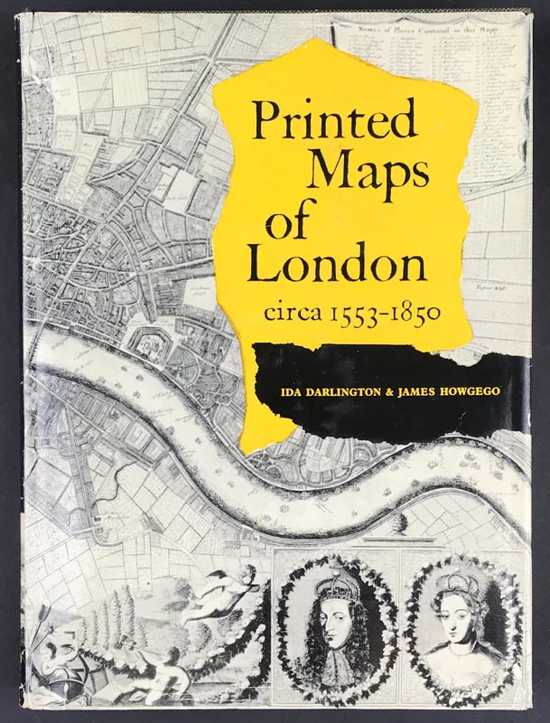
Above: Printed Maps of London circa 1553-1850. Darlington, Ida & James Howgego with Forward by R. A. Skelton. Published by George Philip & Son Limited 1964.
Each entry gives exact details of title, size, extent, scale, key, decorative features, etc., and present location, and is followed by a careful collation of later editions, with all information necessary for identification, and of derivatives, reproductions and facsimiles.
As mentioned before I recommend developing a reference library geared towards your specific subject of interest. If that interest is 'London' then this is a super reference work that will set you right especially if you want to invest in printed maps of London. Books like this one are a great resource when it comes to understanding about maps and learning about your subject of interest. The benefits are many and the knowledge you gain will help you with the decision making process when it comes to future investments for your map collection.
I have a copy of "Printed Maps of London circa 1553-1850" available on my website HERE
Happy Reference Book Hunting!
Each entry gives exact details of title, size, extent, scale, key, decorative features, etc., and present location, and is followed by a careful collation of later editions, with all information necessary for identification, and of derivatives, reproductions and facsimiles.
As mentioned before I recommend developing a reference library geared towards your specific subject of interest. If that interest is 'London' then this is a super reference work that will set you right especially if you want to invest in printed maps of London. Books like this one are a great resource when it comes to understanding about maps and learning about your subject of interest. The benefits are many and the knowledge you gain will help you with the decision making process when it comes to future investments for your map collection.
I have a copy of "Printed Maps of London circa 1553-1850" available on my website HERE
Happy Reference Book Hunting!
0 Comments