- Published on
Another book recommendation for novice antique map collectors. I remember the first couple of maps I bought at auction were maps by Blaeu. At the time I was at the auction to buy what could best be describe as an elaborate floor standing ecclesiastical or masonic brass oil lamp which some idiot had converted to electric! I fully restored eventually. While at that auction these two maps had caught my eye and I just new they were special and I bought them. At the time I didn't even know the name Blaeu. From then on I've been hooked, I've learnt a lot about maps and still love the cartographic work of the Blaeu family. With this in mind this book is a must have and you can find copies on the internet not overly expensive.
As previously mentioned I recommend developing a reference library geared towards your specific subject of interest. The benefits are many and the knowledge you gain will help you with the decision making process when it comes to future investments for your map collection.
As previously mentioned I recommend developing a reference library geared towards your specific subject of interest. The benefits are many and the knowledge you gain will help you with the decision making process when it comes to future investments for your map collection.
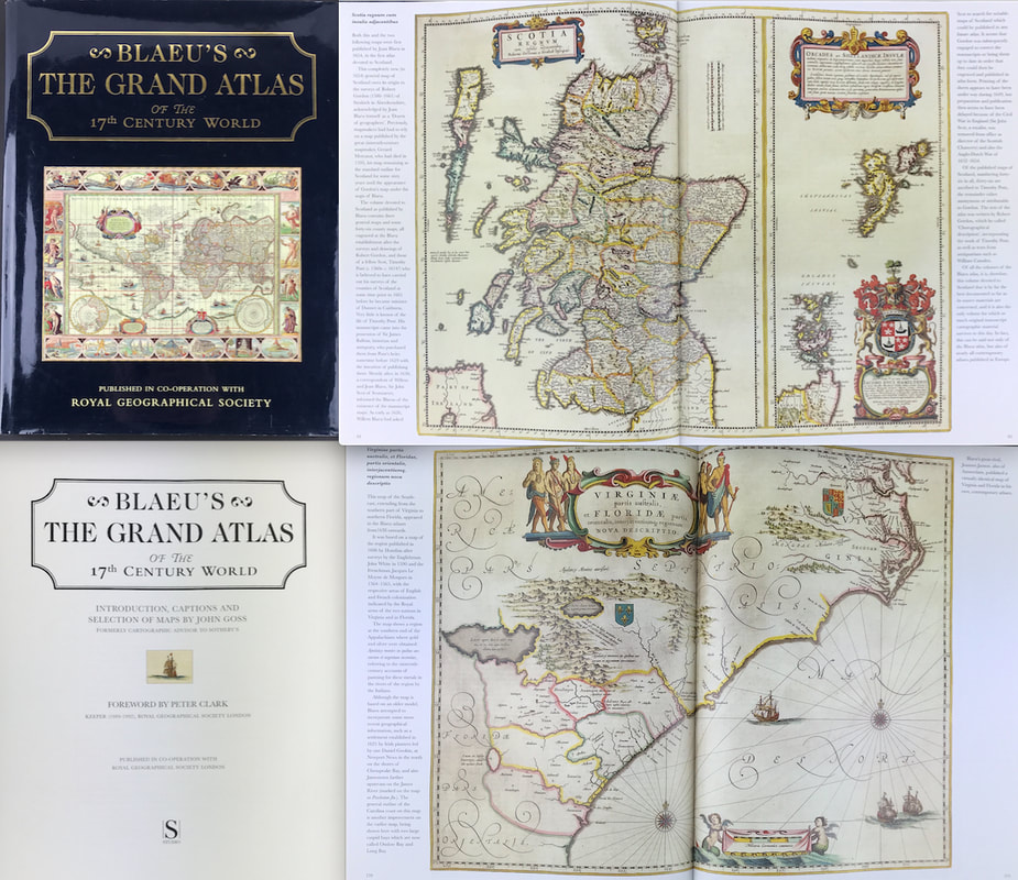
Above: Blaeu's The Grand Atlas of the 17th Century World. INTRODUCTION BY JOHN GOSS, FOREWORD BY PETER CLARK, KEEPER(1989-92), ROYAL GEOGRAPHICAL SOCIETY. Publisher: Royal Geographical Society London 1997.
This edition of Blaeu's 17th-century atlas includes the finest maps selected from the original nine volumes. These contained almost 600 maps, covering the entire world as it was known at that time. John Goss has supplied extended captions for the benefit of a modern readership.
JOAN BLAEU'S THE ATLAS MAJOR, first published in 1662, is still the largest atlas ever produced. Over six hundred maps portray the world as it was known in the middle of the 17th century with its great empires, far-off exotic kingdoms and lands of legend. The embellishment and decoration of these maps, unsurpassed in their beauty and sumptuous detail, bring to life a long-lost age of mapmaking.
These books are a great resource when it comes to understanding about maps and learning about your subject of interest.
More info on "Blaeu's The Grand Atlas of the 17th Century World" can be found HERE
Happy Reference Book Hunting!
0 Comments